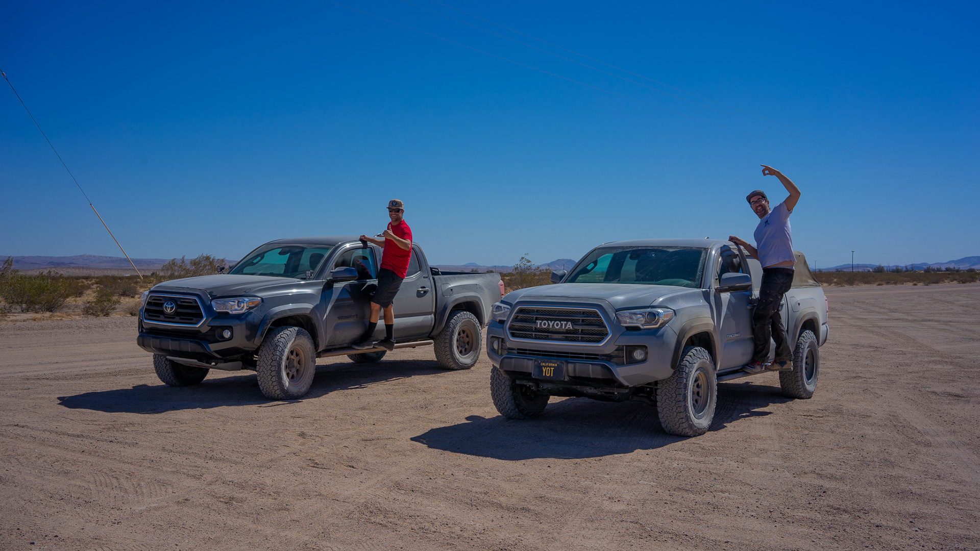
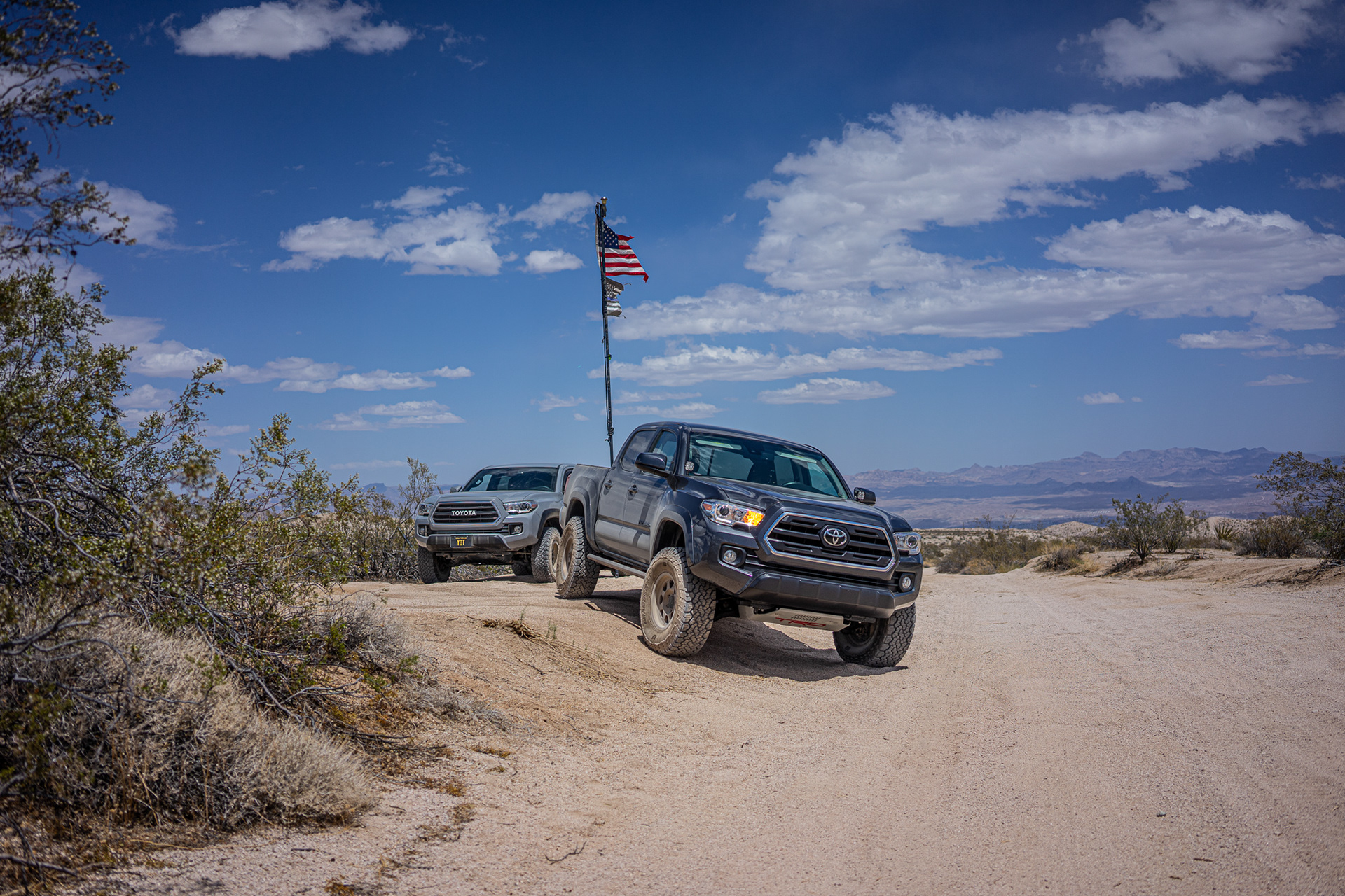
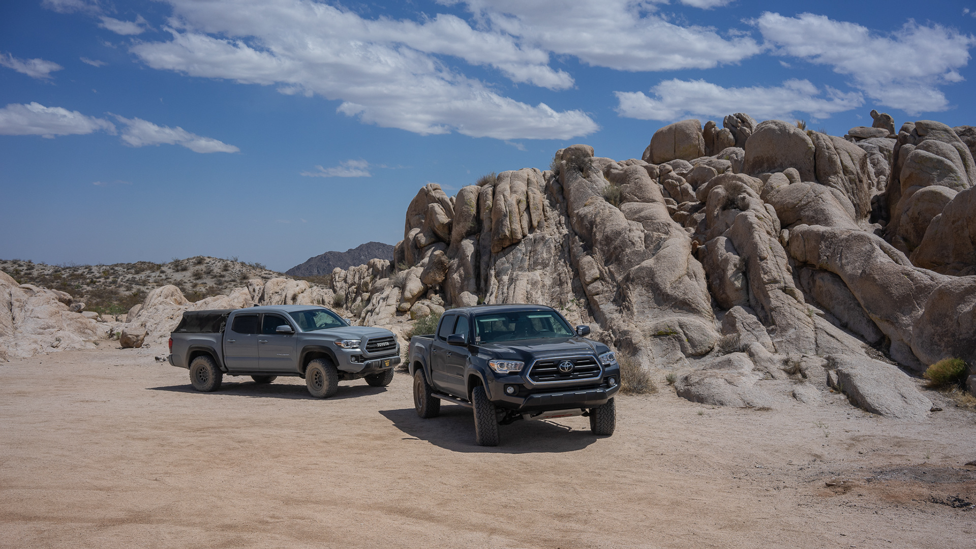
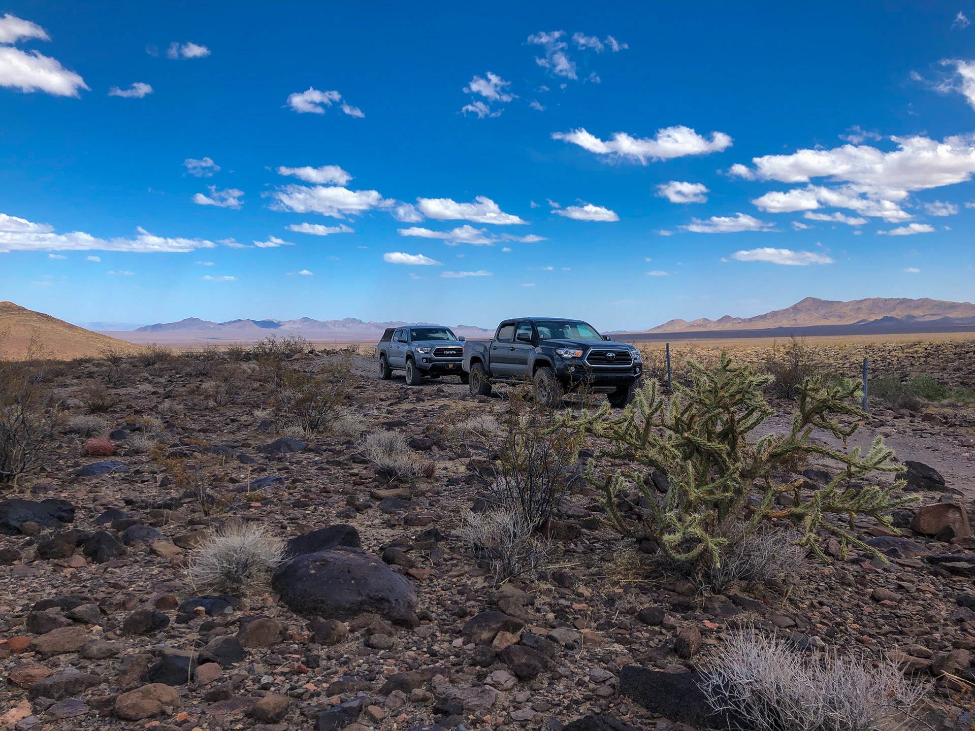
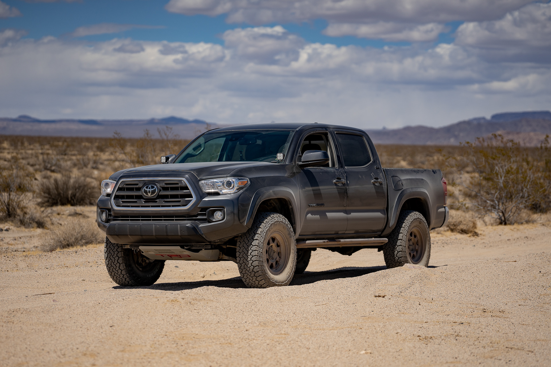
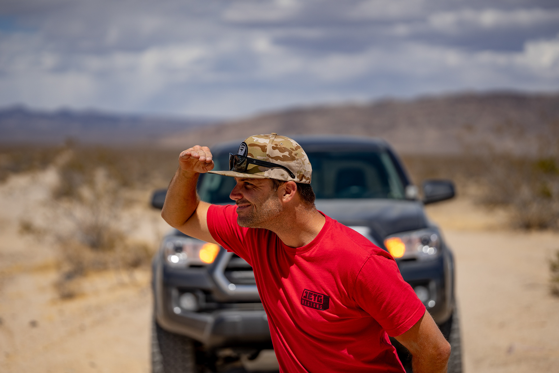
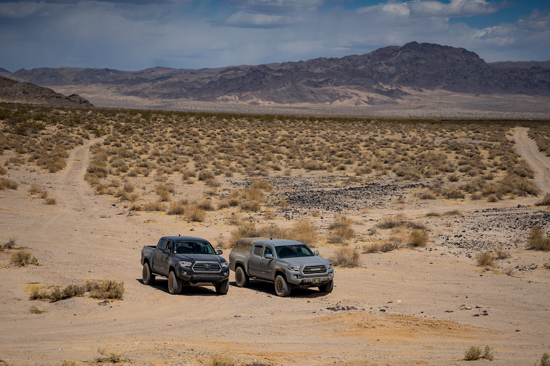
The Mojave Road, from Laughlin NV to Yermo CA, 163.1 miles and two Tacomas. Joe and I began in Los Angeles, CA at 7am with the plan of arriving in Laughlin, NV by noon to begin the first leg of the historic road.
More information about the Mojave Road can be found here.
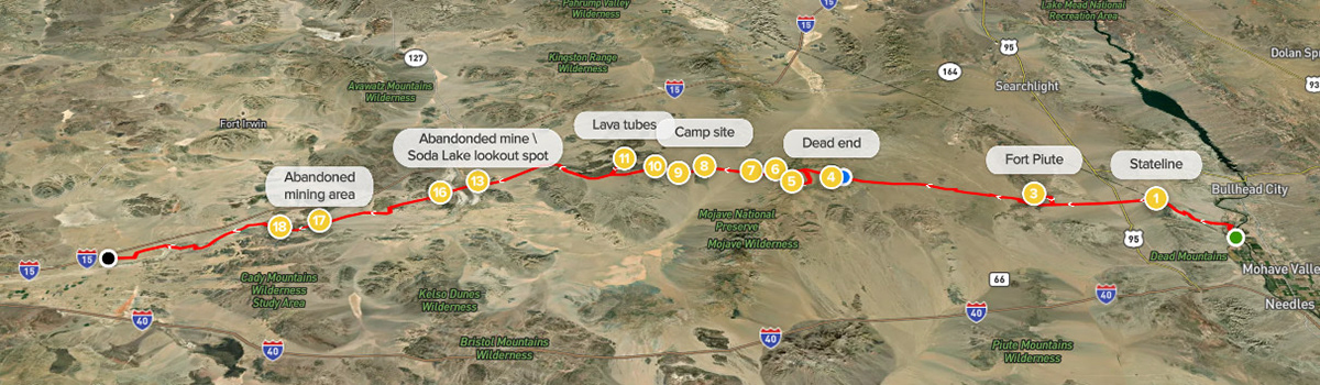
A map of our entire route can be found on All Trails.
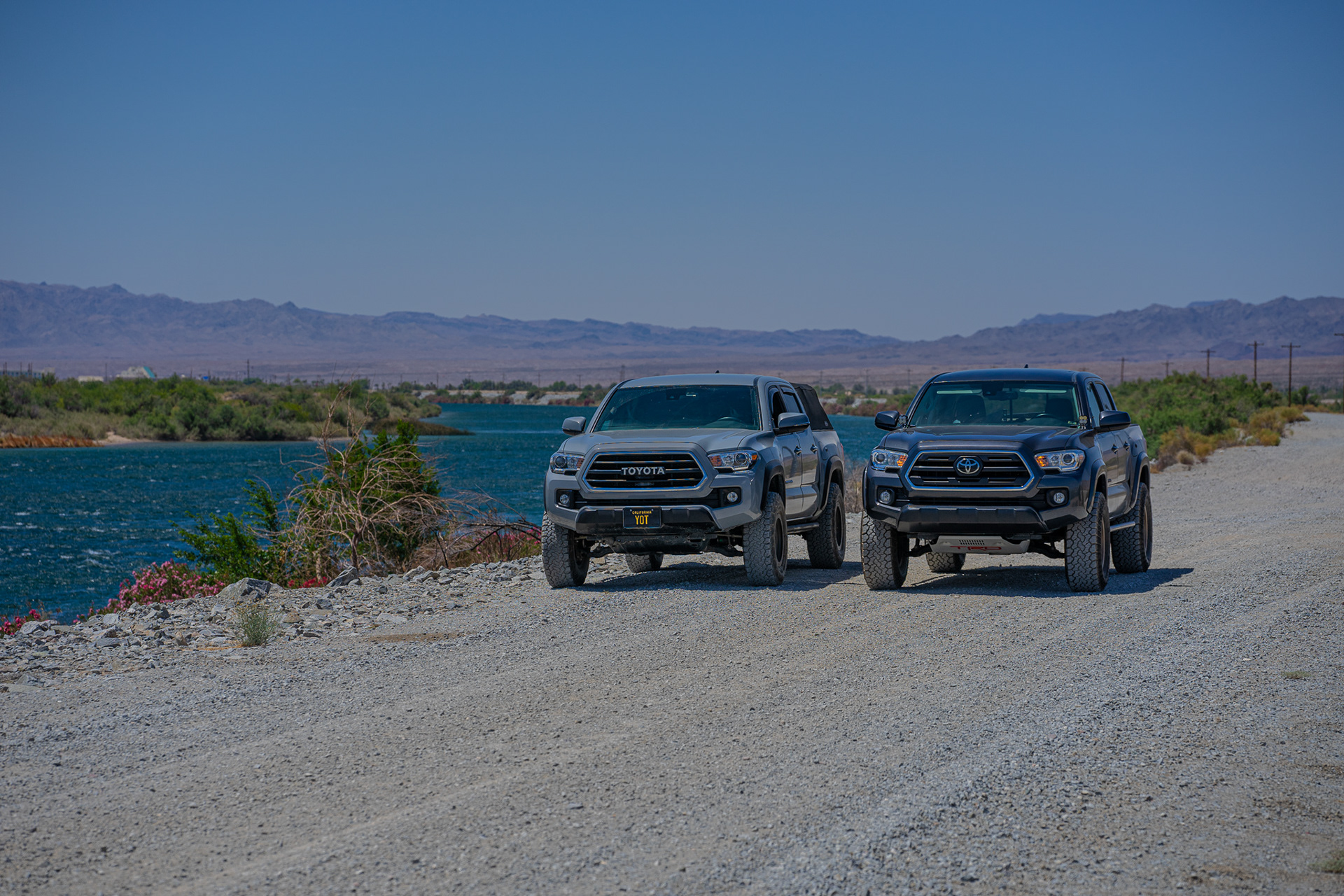
Joe and I lined up for lunch on the banks of the Colorado River just outside Laughlin, NV at noon.
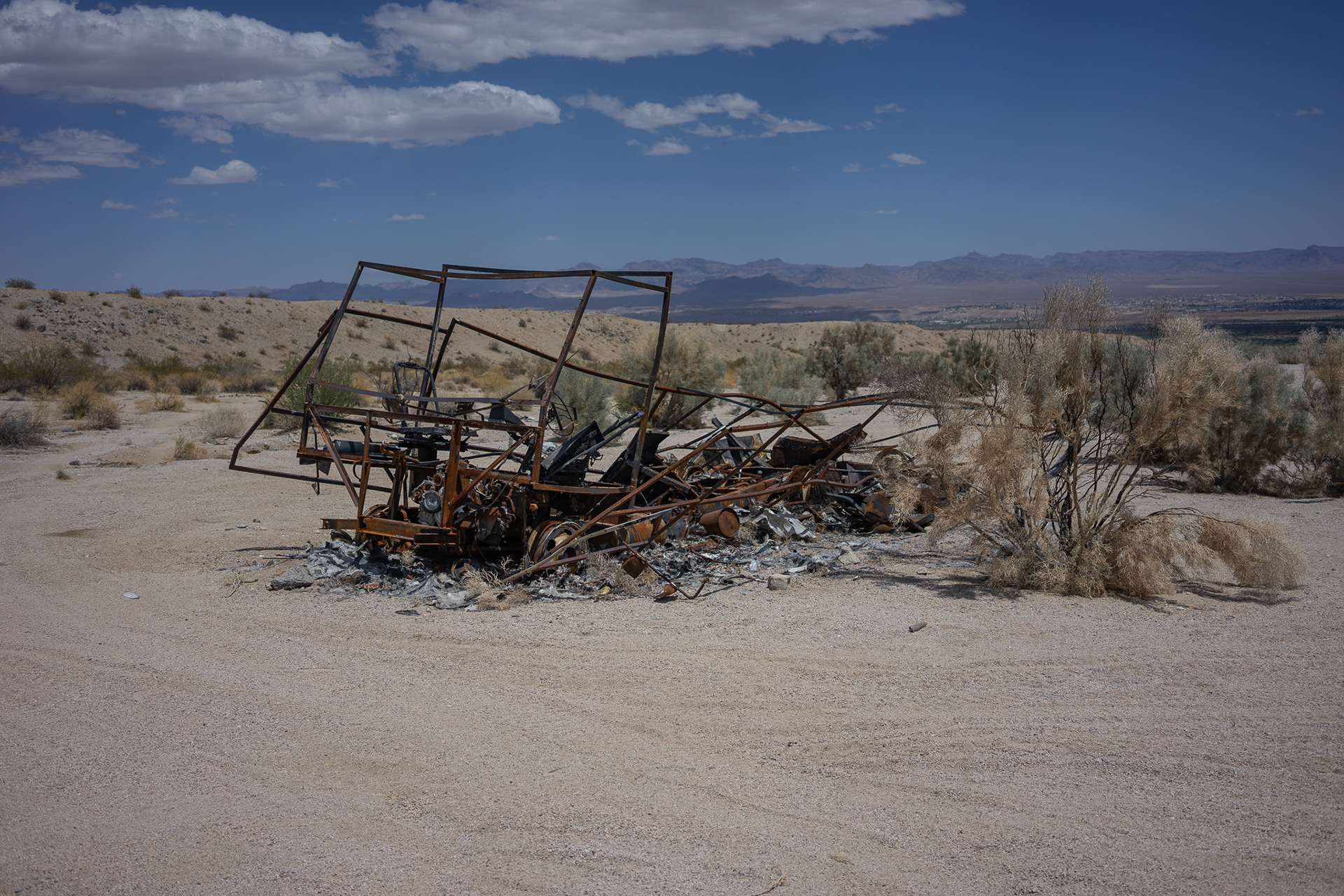
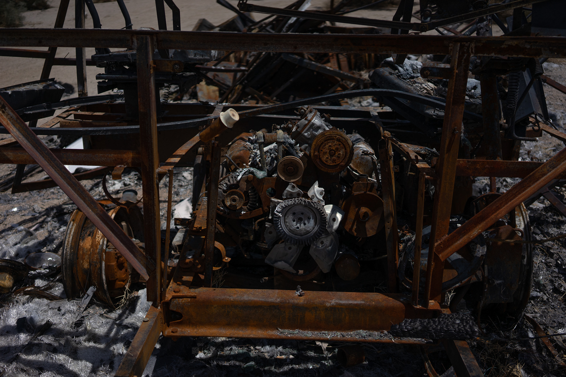
about 5 minutes in, we came across this old Winnie that's seen better days, and met an unfortunate demise. This was the first of many assumed insurance claims we ran across.
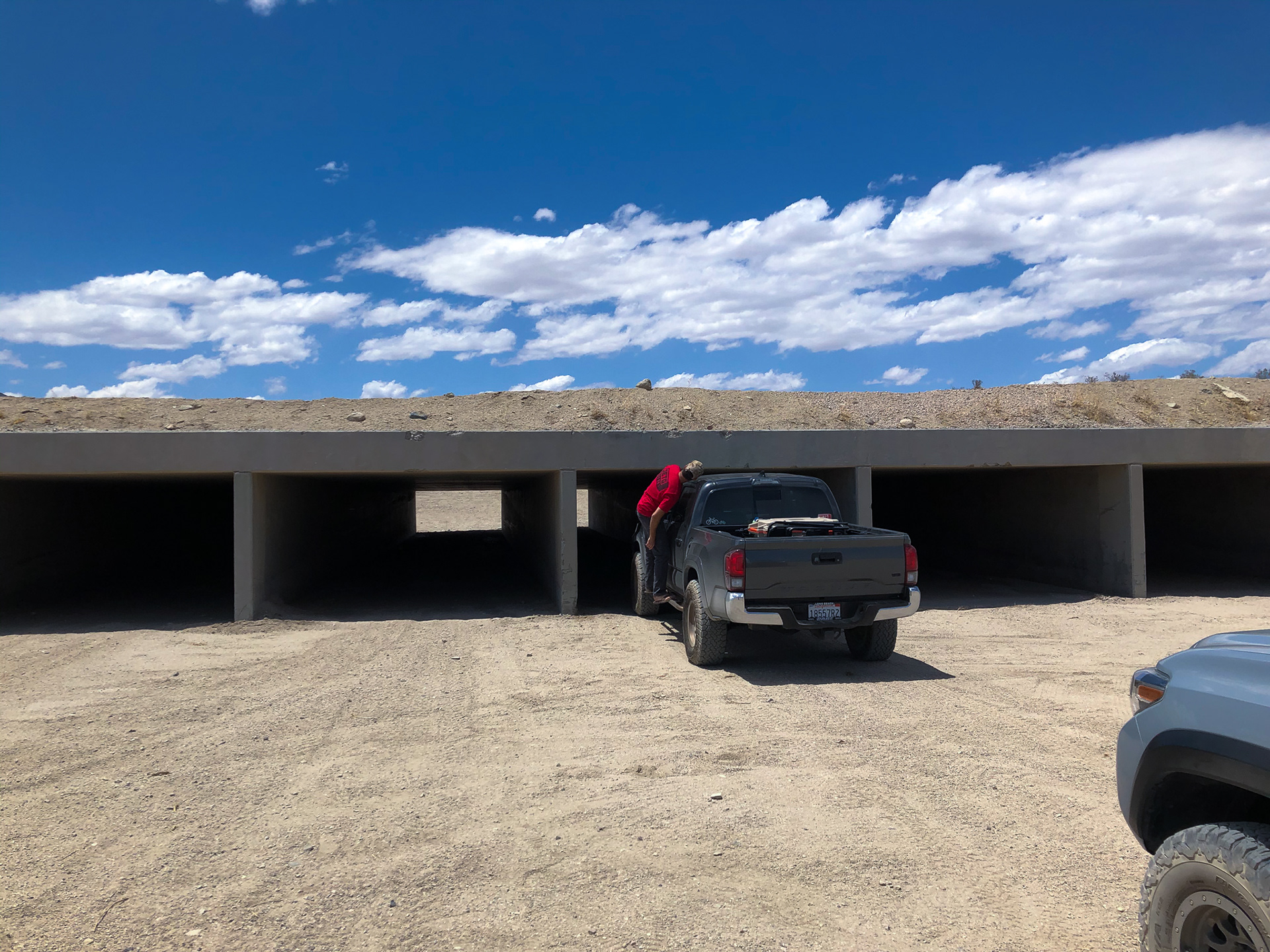
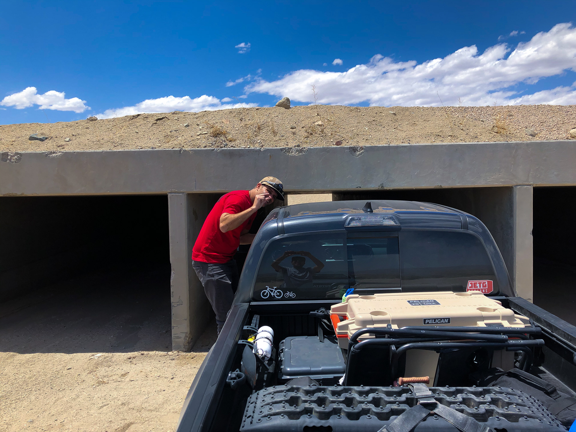
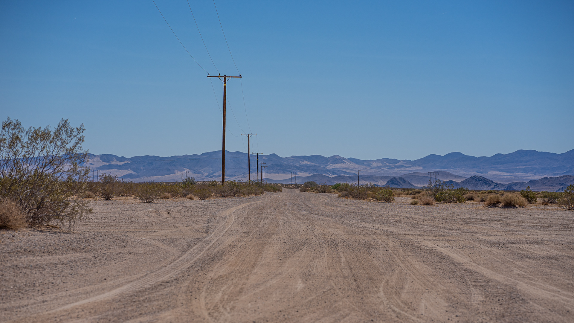
It looks like some vehicles have tried to split the gap under the first highway crossing, we weren't going to chance it, and took the bypass up and over.
Once we were past the highway, it was full speed ahead to balancing rock.

Balancing Rock was on our map as a possible camp spot for the night - winds and all. However, we were about 4 hours ahead of schedule at this point, and decided to continue to our next waypoint - Fort Piute.
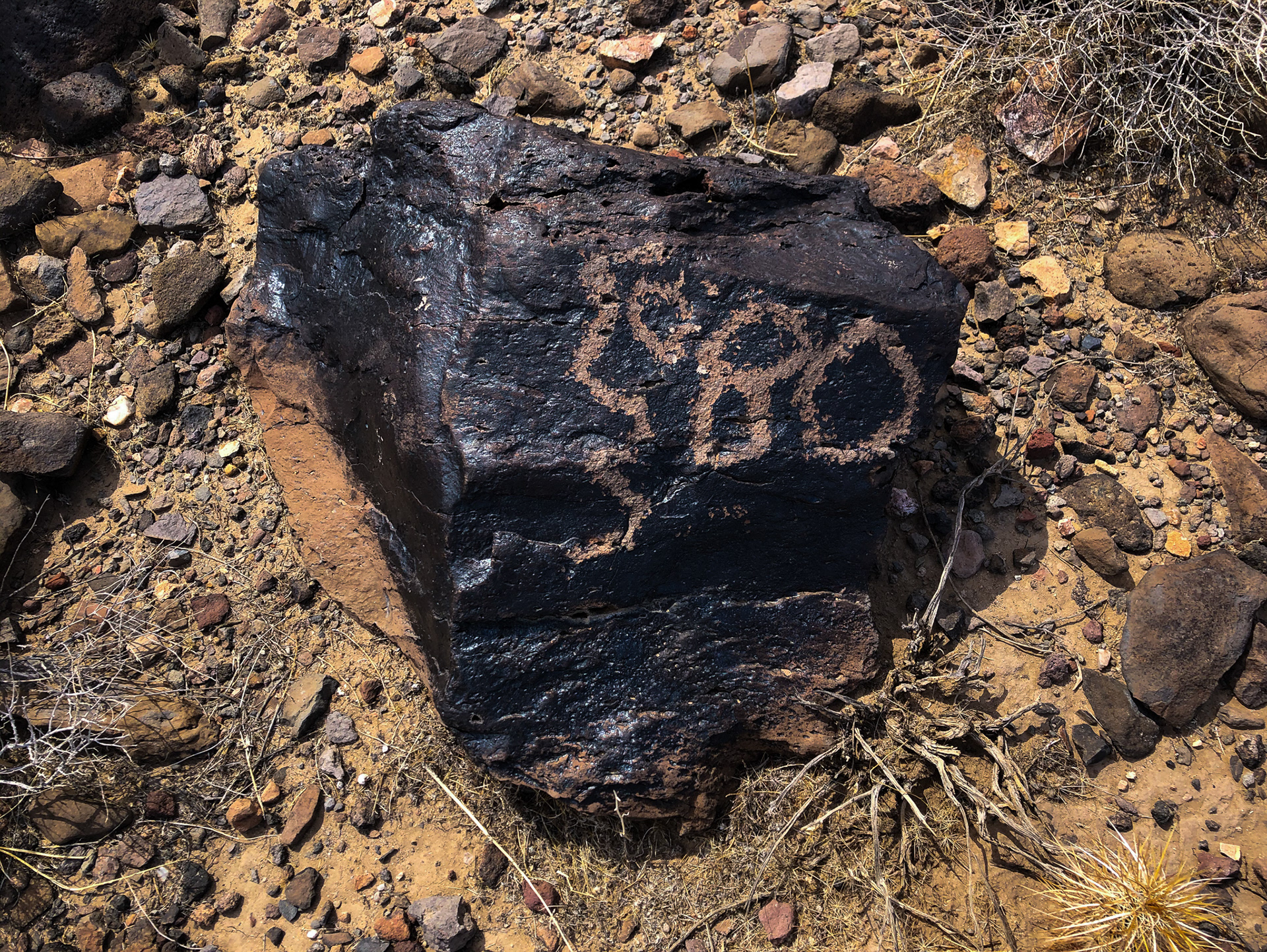
one of the many petroglyphs you can encounter along the way - this one just outside the fort.
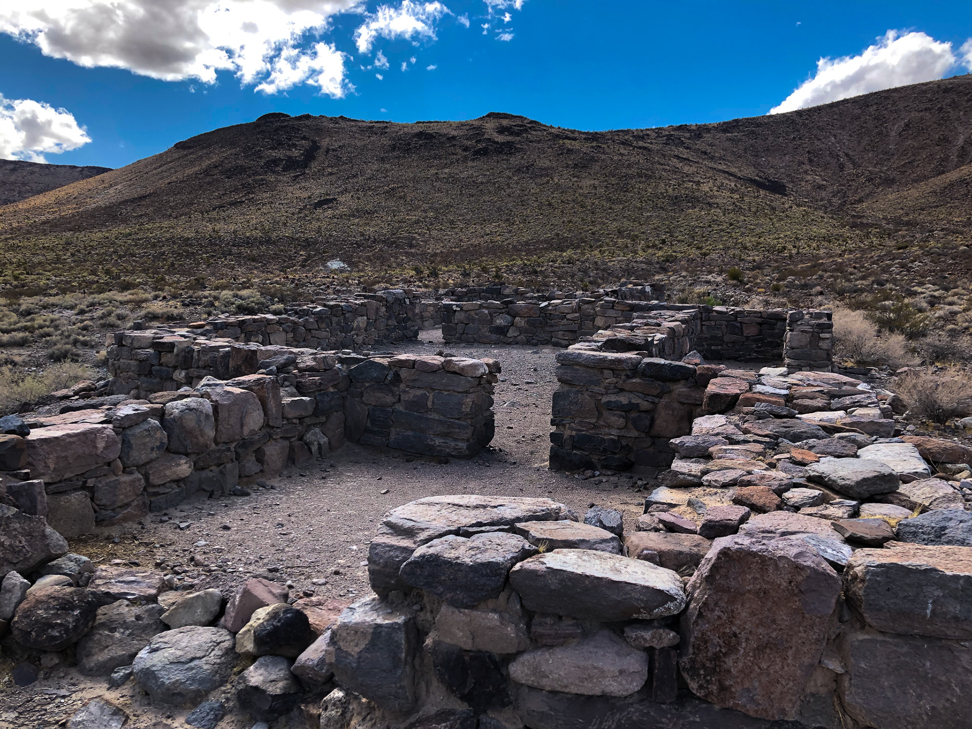
What's left of the fort is at the end of a slow rocky road, littered with sharp volcanic rocks. This was probably some of the most rugged terrain of the entire trip.
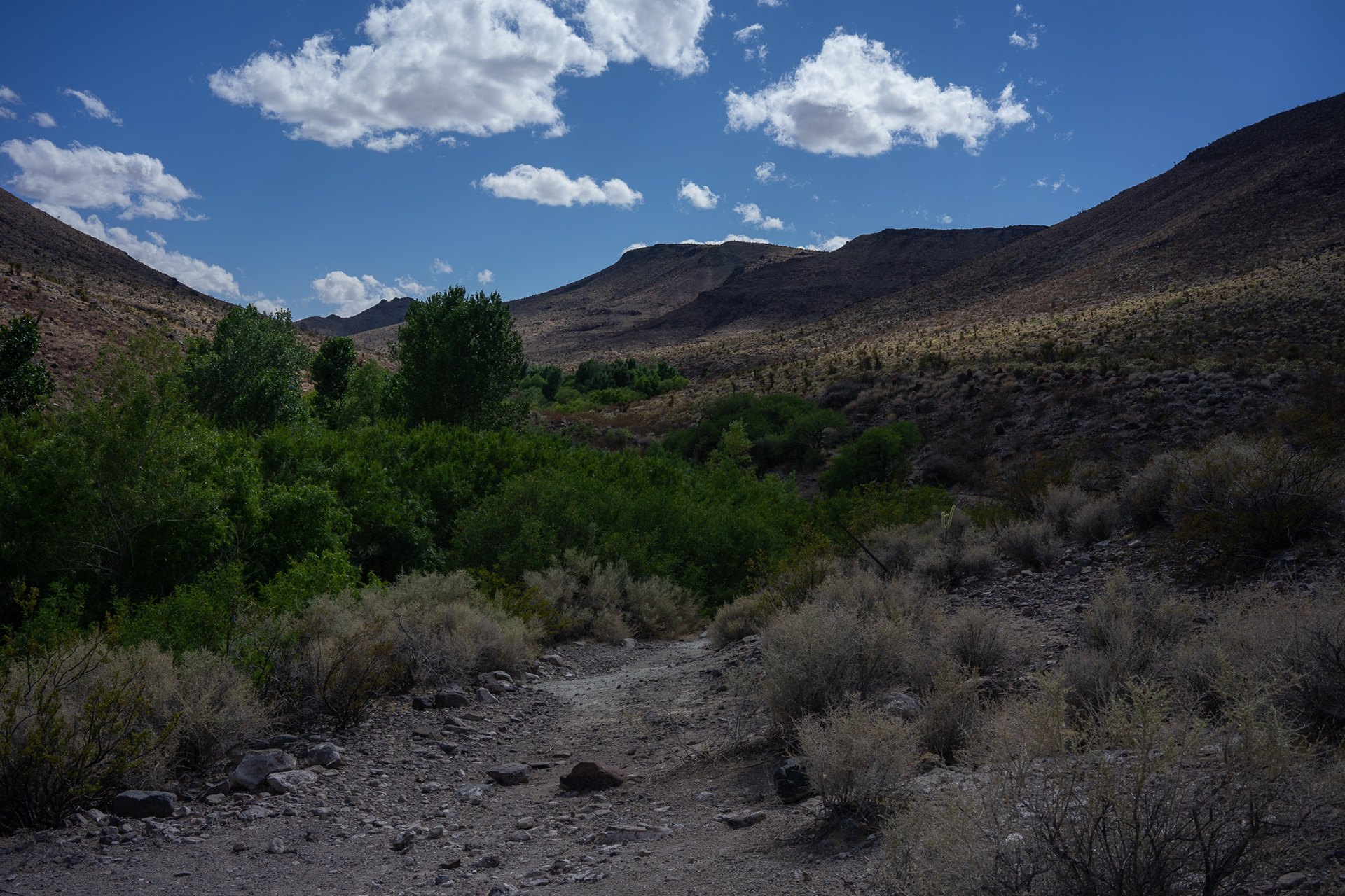
There's a long hike you're able to walk along the natural spring at the fort, where you can spot wildlife and some rare greenery in the middle of the desert. You can quickly understand the reasoning behind building here.
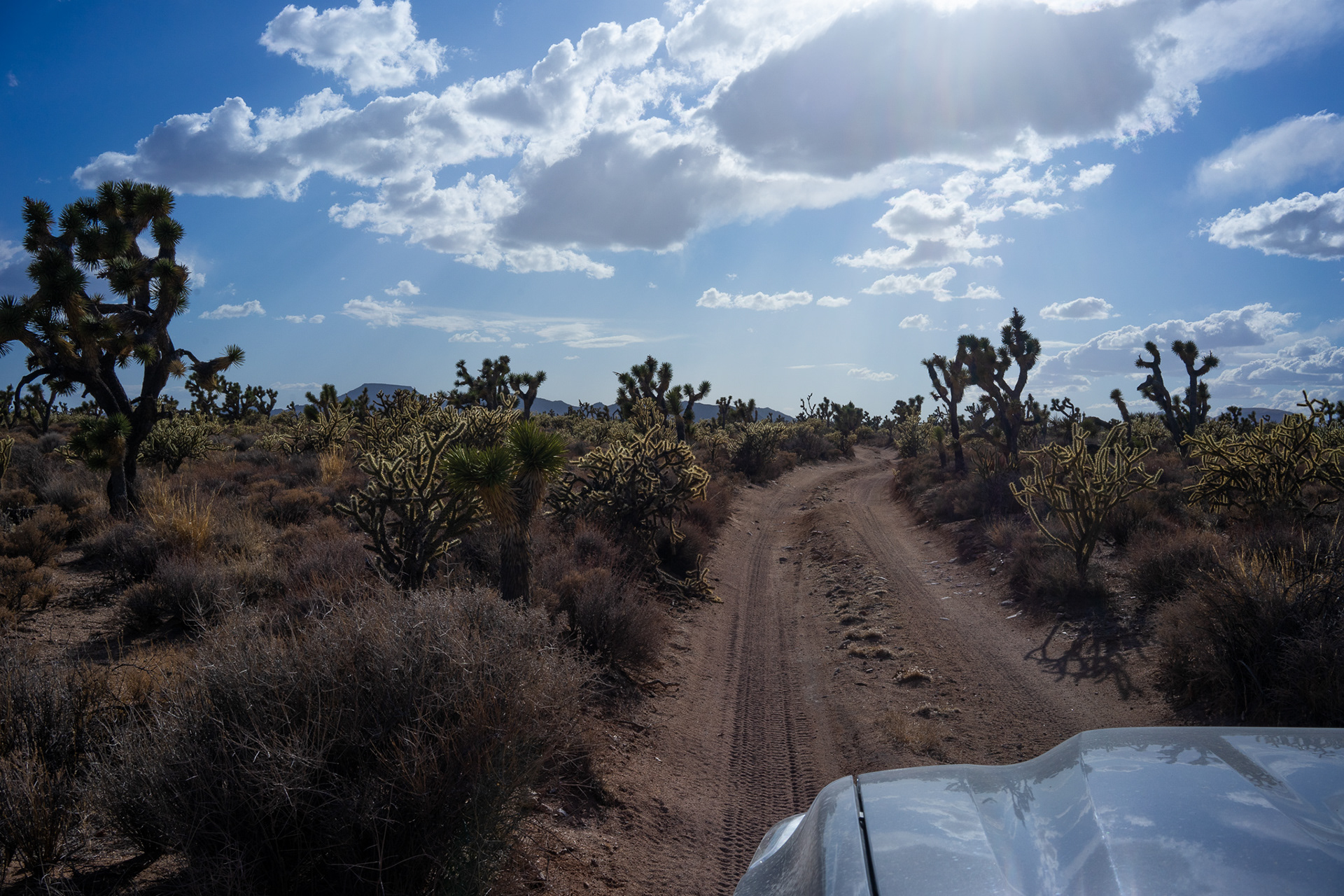
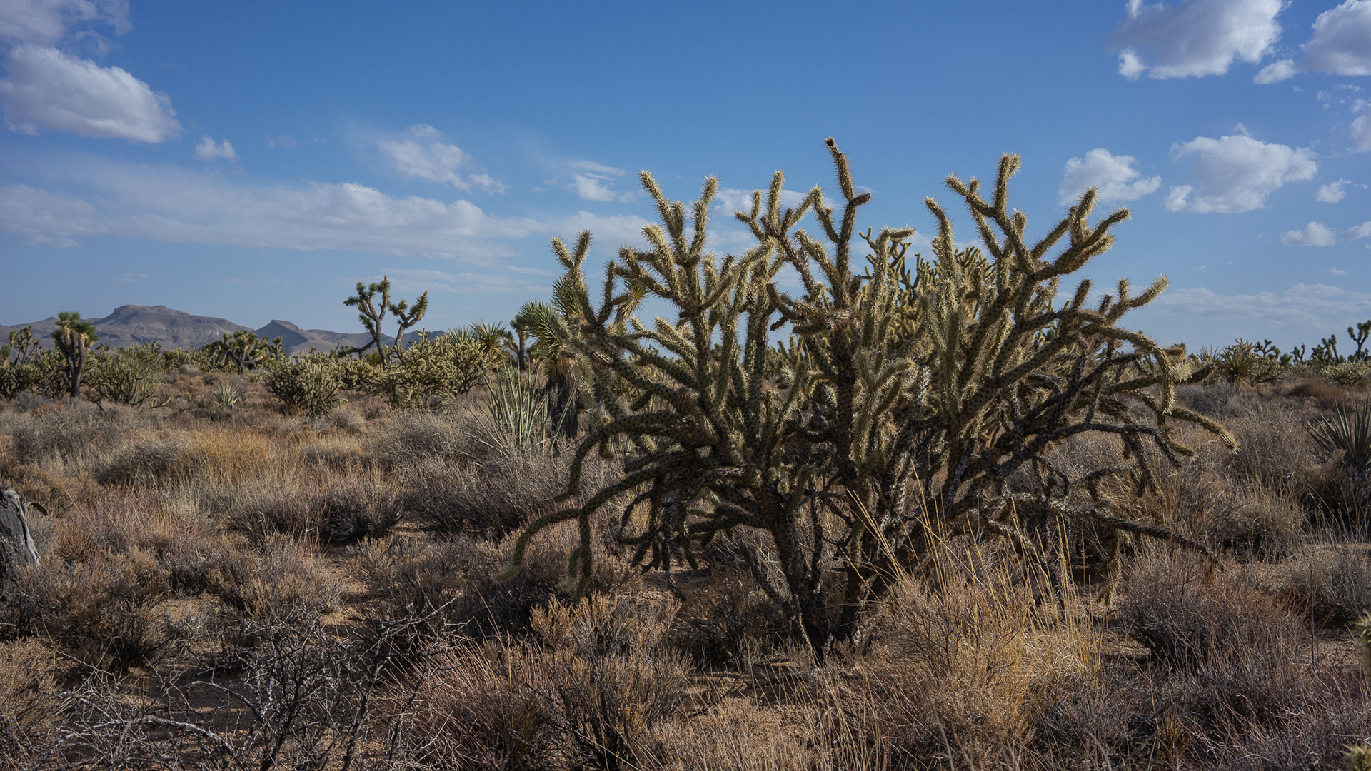
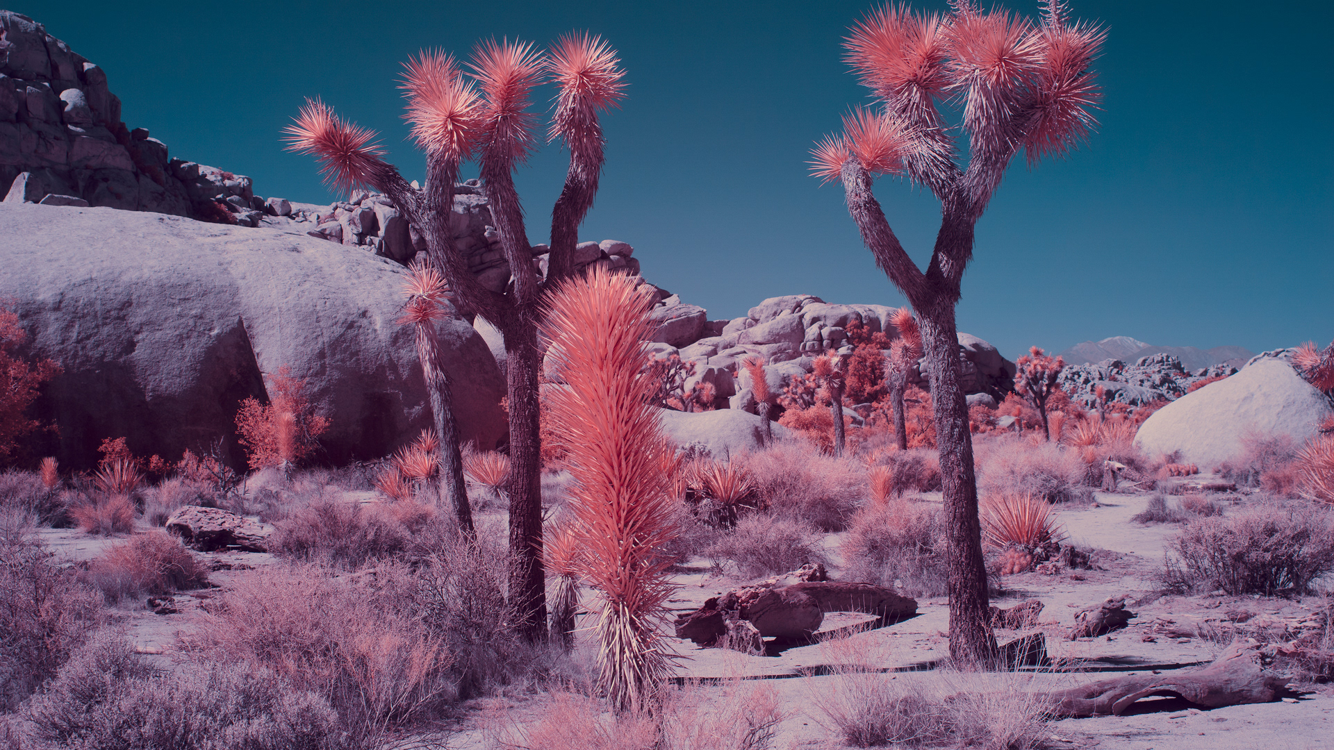
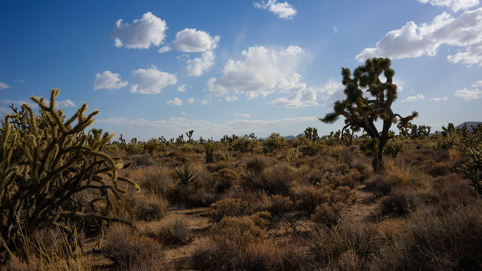
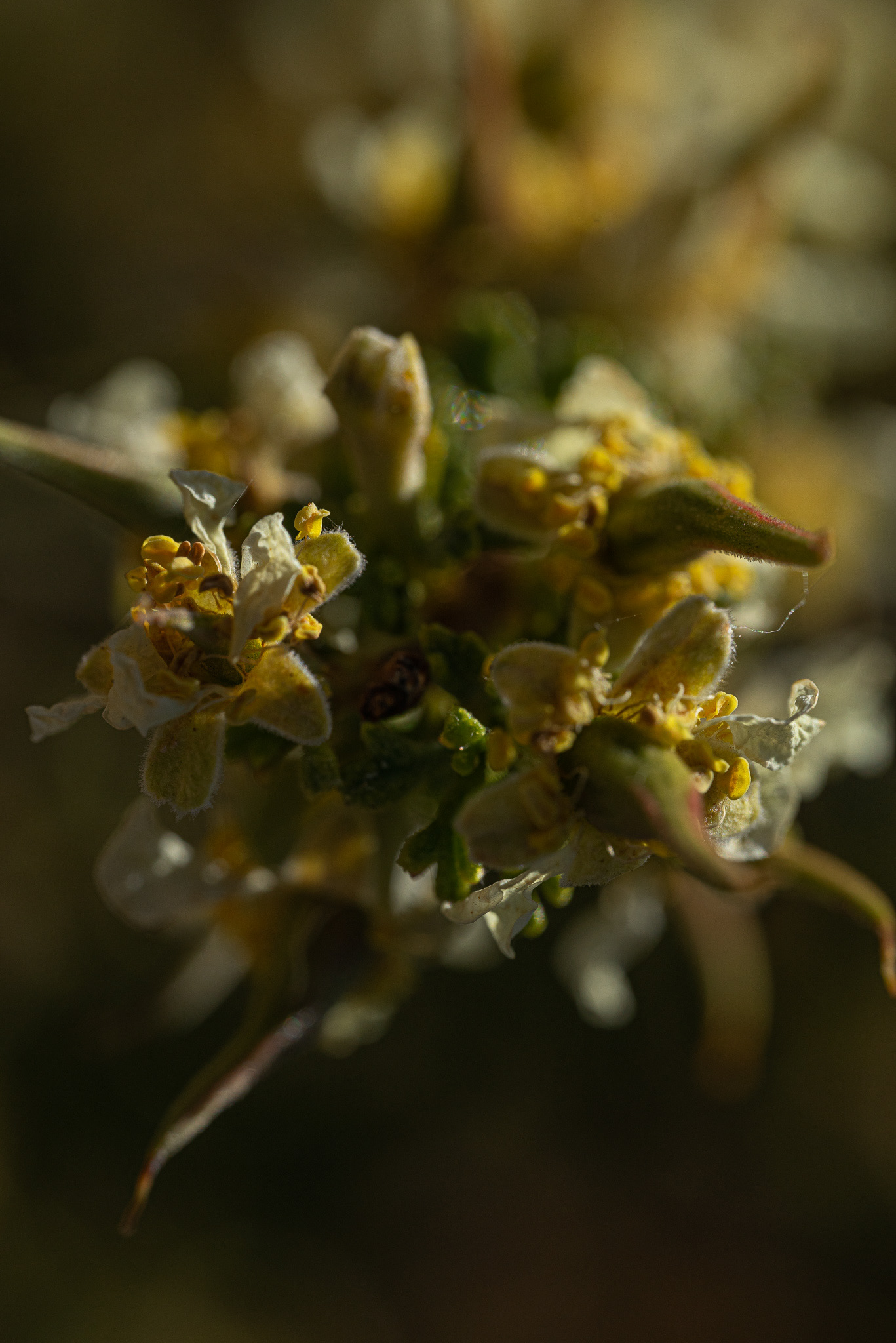
Most of the first half of the trail is a dense joshua tree forest filled in with buckhorn cholla cacti (which can remove the paint from your rear view mirrors with ease).
This is by far the sketchiest part of the trail for 2wd vehicles (ahem joe). Fortunately he had gravity on his side, and against me...
Running this part from East to West makes this section much easier, but still took some guidance as it's a blind rutted out drop. If you're the spotter, make sure you're watching your step. Probably better off not trying to record while directing as well. Lesson learned, and no one got hurt, as well as our trucks having armor in all the right places.
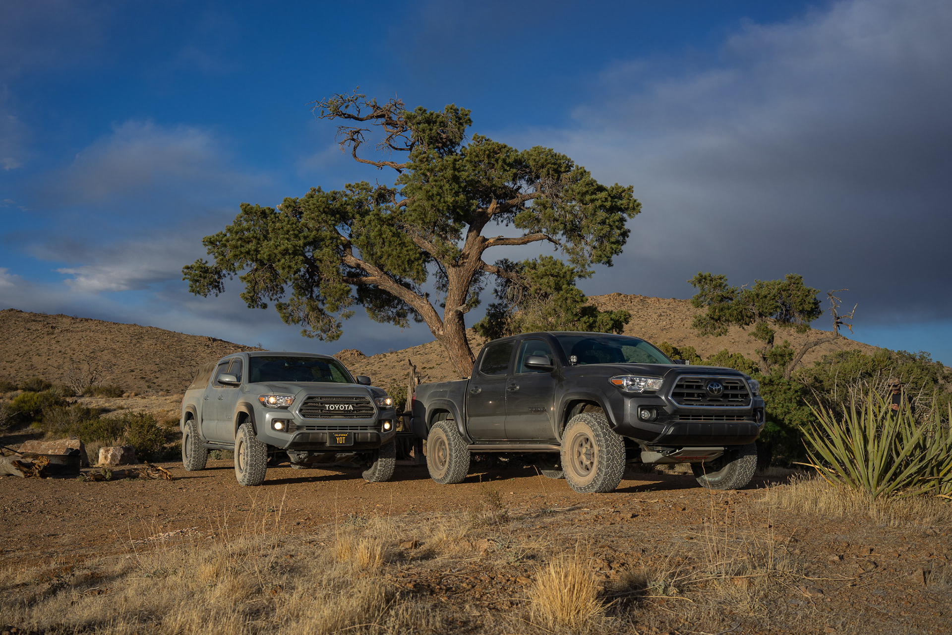
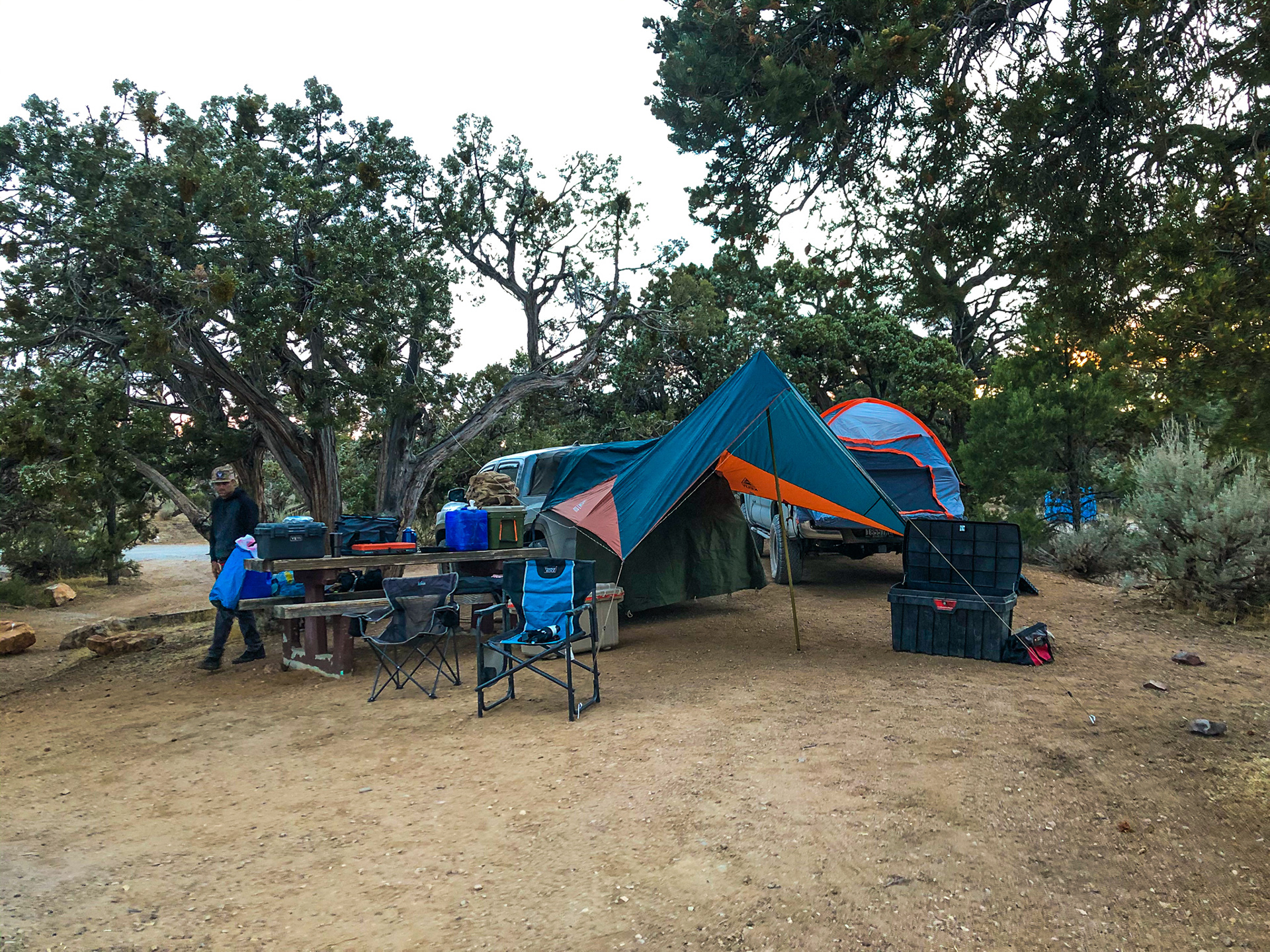
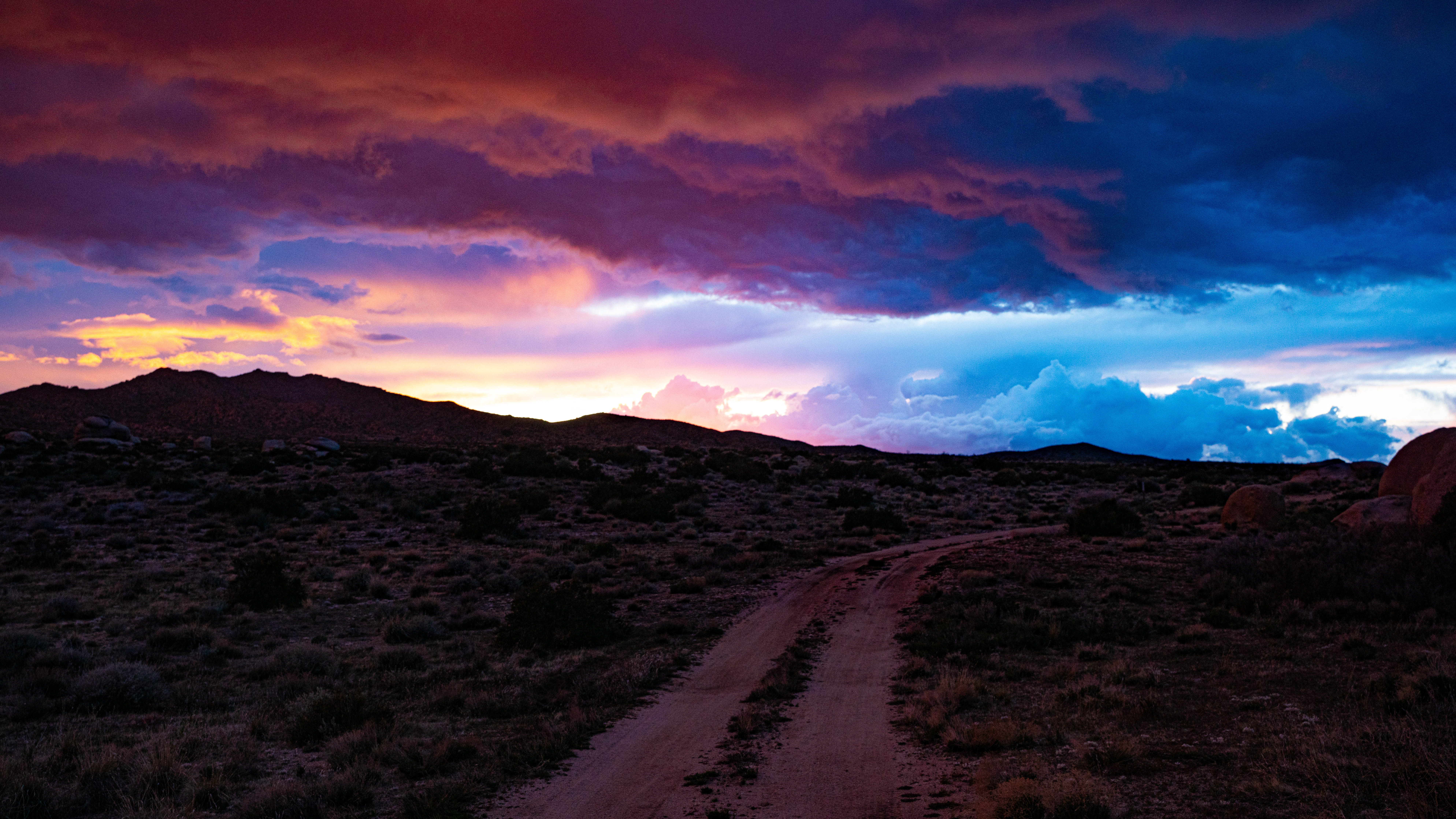
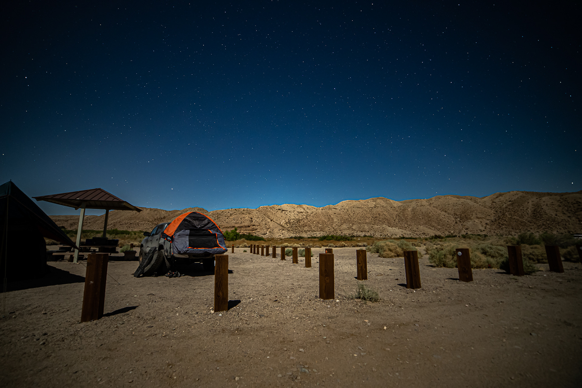
We camped at mid hills for the night - an established campground that gains some altitude. The area was pretty empty with the exception of a couple campers spread out across the grounds. We didn't see or hear anyone our entire time here. We found out how cold it can get in the desert with a little bit of altitude here, and have noted that for future trips. Next stop - thomas place.
Thomas place, an old homestead and cattle ranch, lost to time, a short leg off the main road through a tight joshua tree forest. Expansive views of the landscape, and another example of weird crap you find in the desert (RE:Potato).
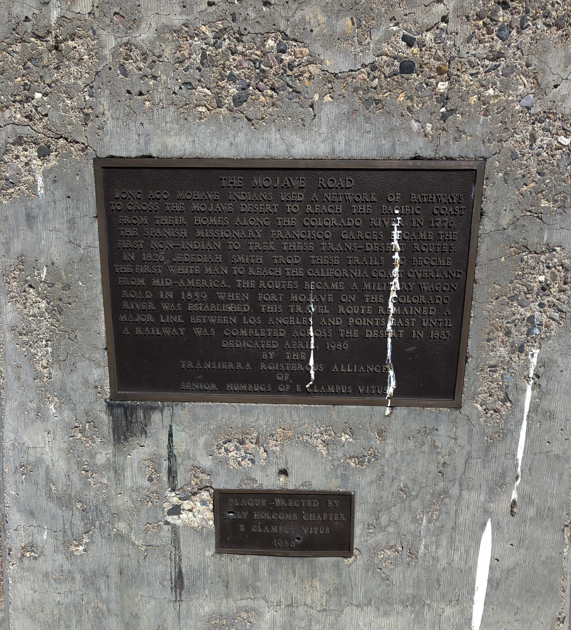
One of the many plaques you run across giving you history lessons along the way.
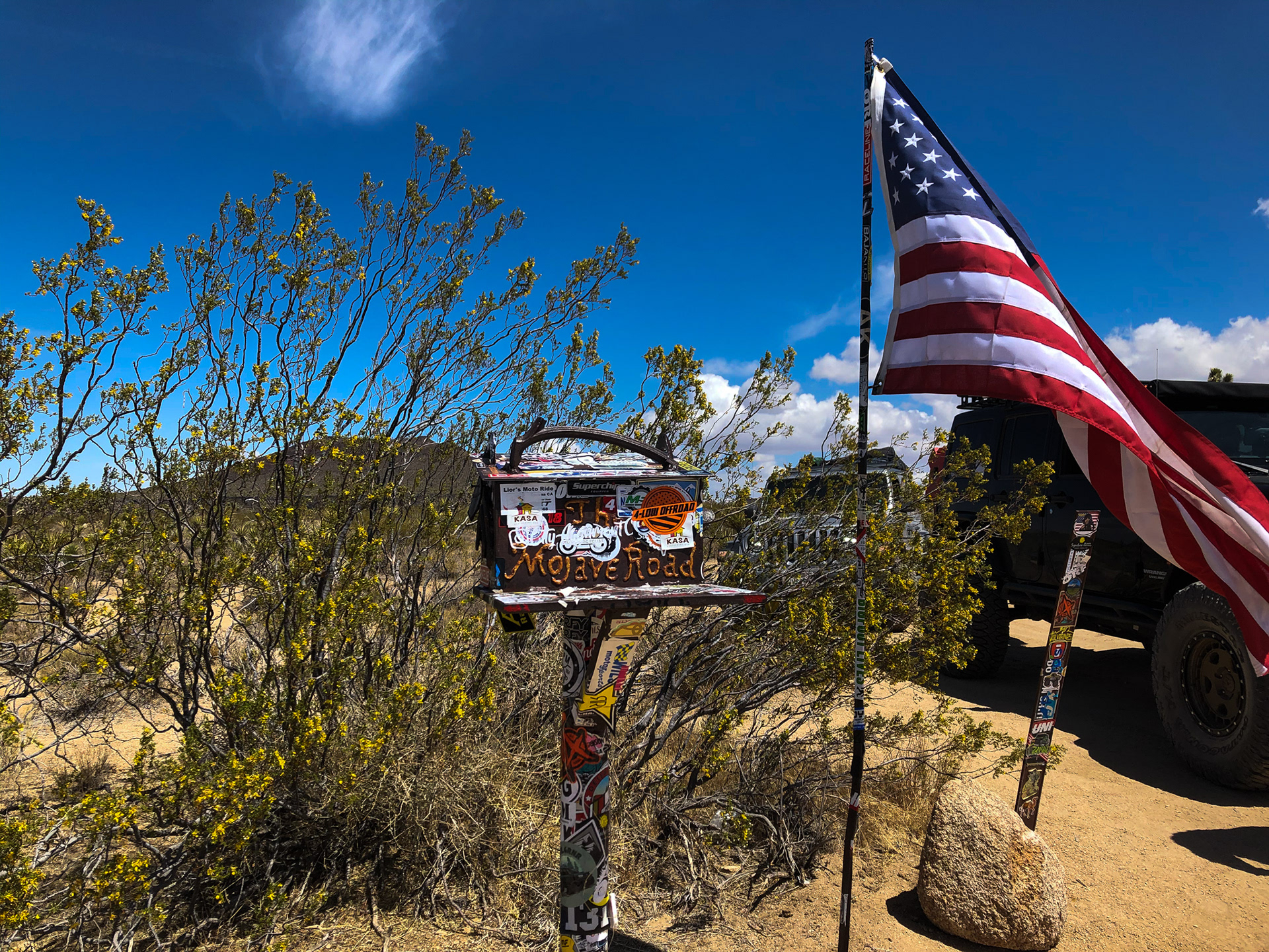
The mojave road mailbox, make sure to sign the guest book, leave an item, take an item, slap a sticker on it, or whatever. There's a large parking area here, where you'll most likely encounter other travelers.
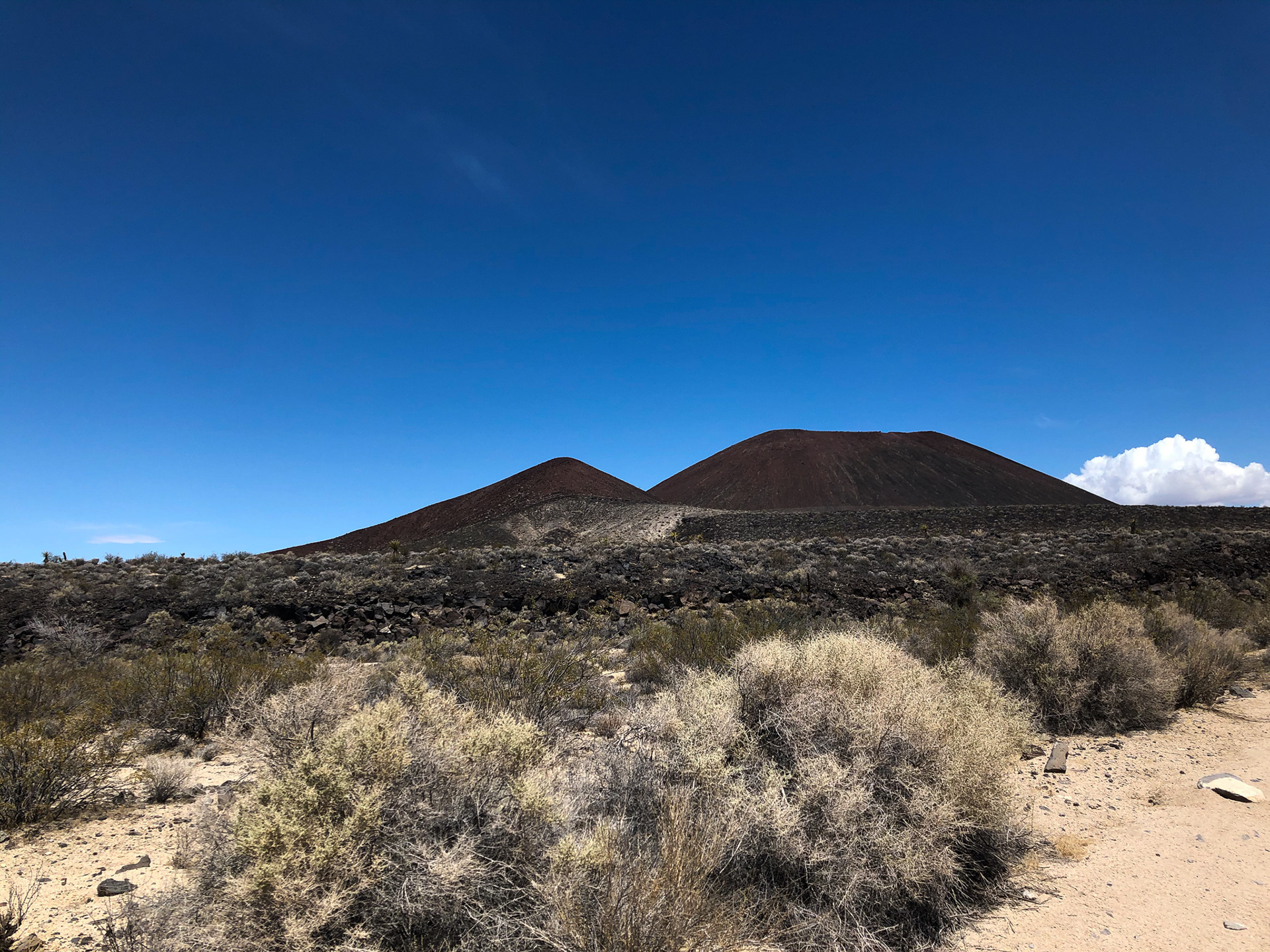
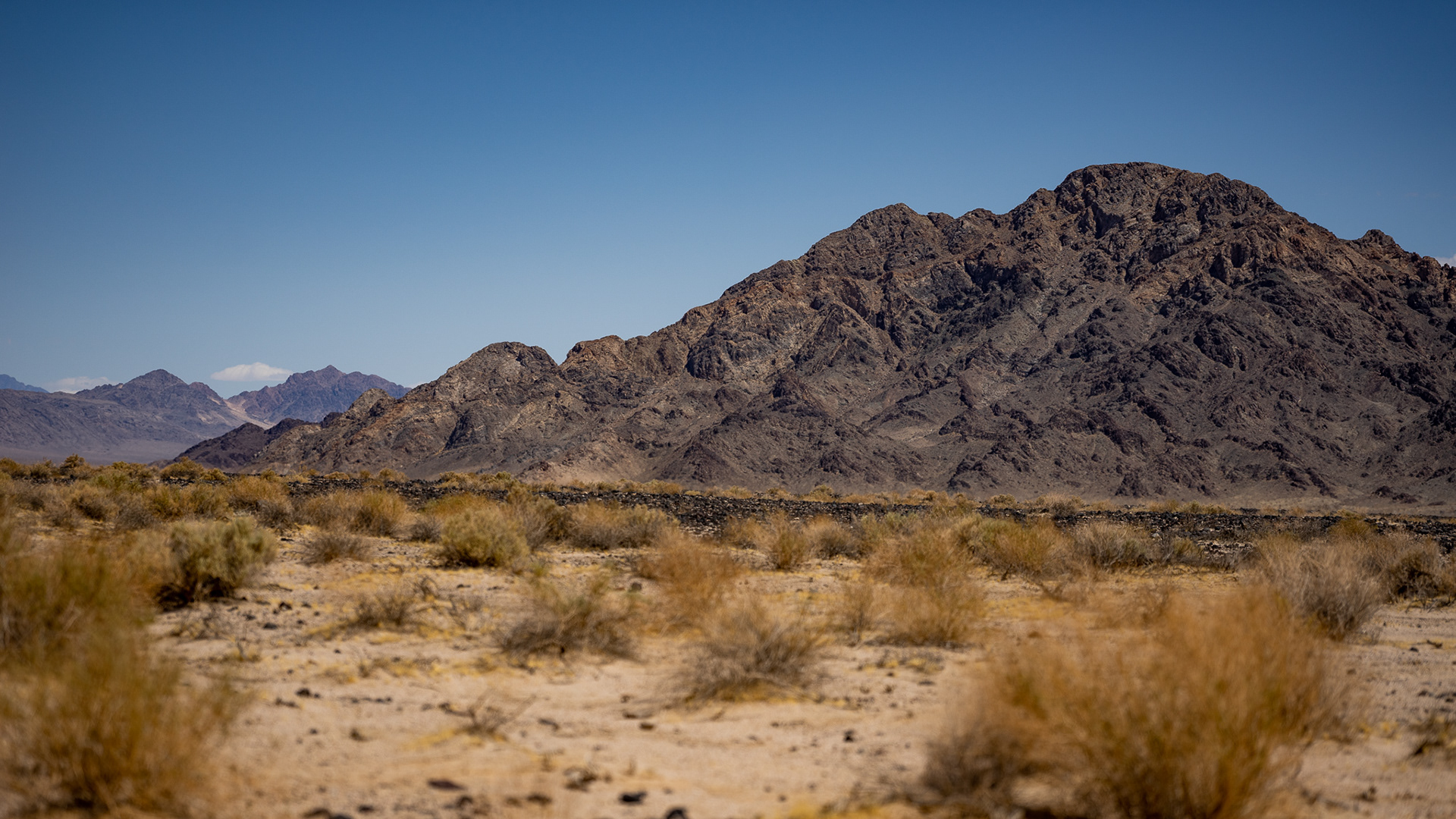
Cinder cones in the distance let us know we were approaching our next waypoint - the lava tubes. This spot is well known among desert visitors, and has easy access for non 4x4 vehicles from Baker, CA.
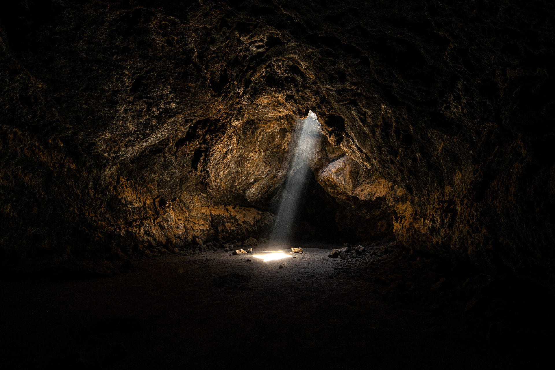
Once inside the lava tube, you're brought into a cavern with stunning beams of light from several holes above.
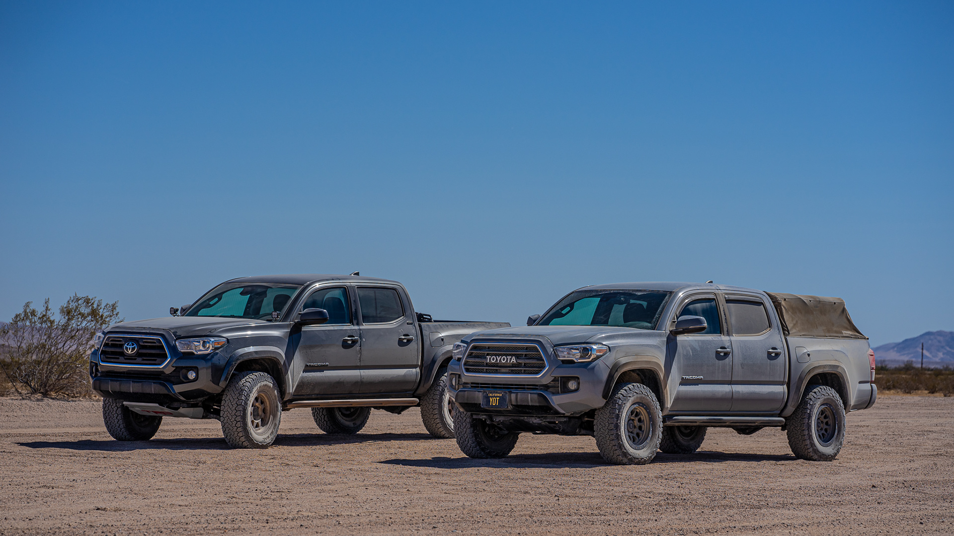
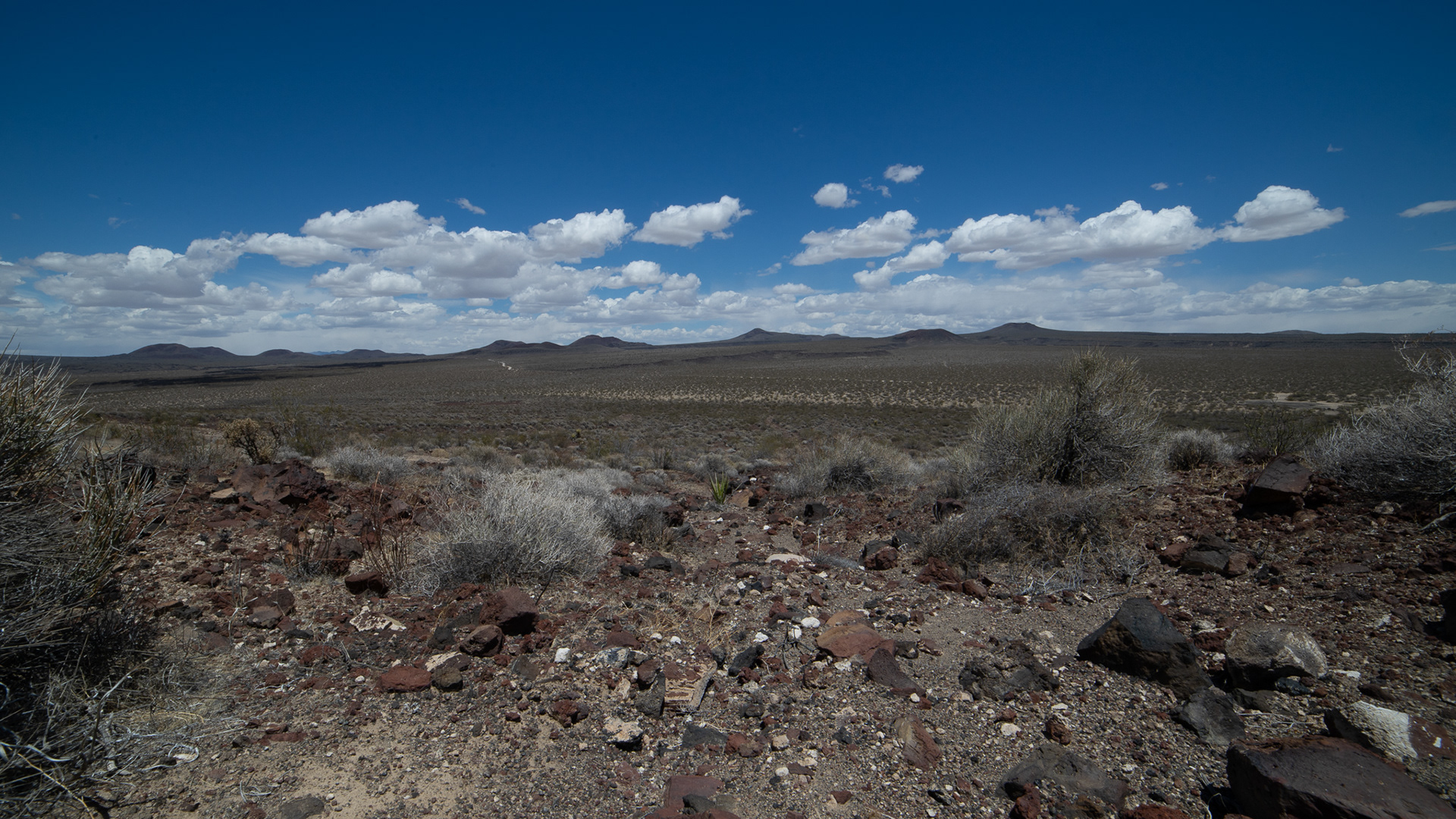
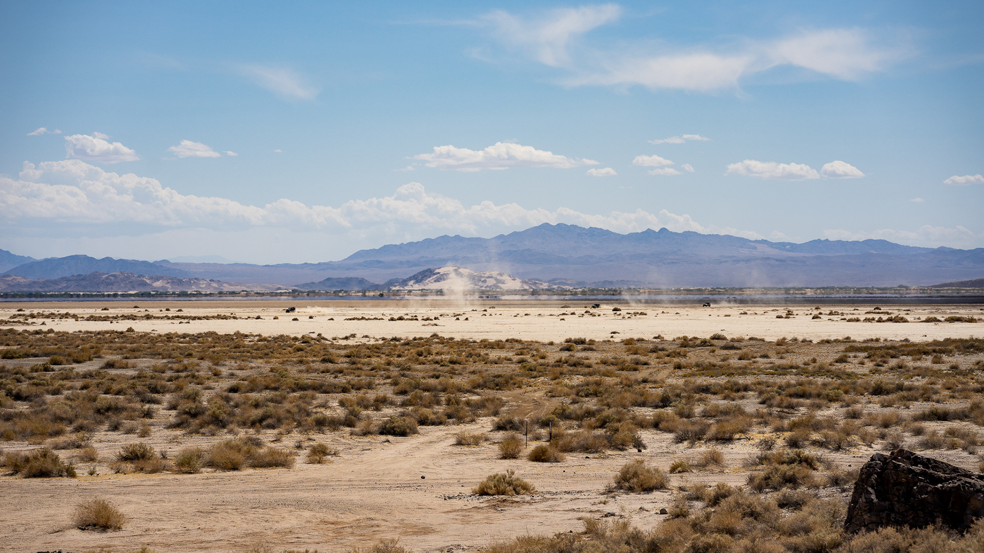
Just some beauty shots of how dirty our vehicles have become. The next obstacle ahead was the soda lake crossing.
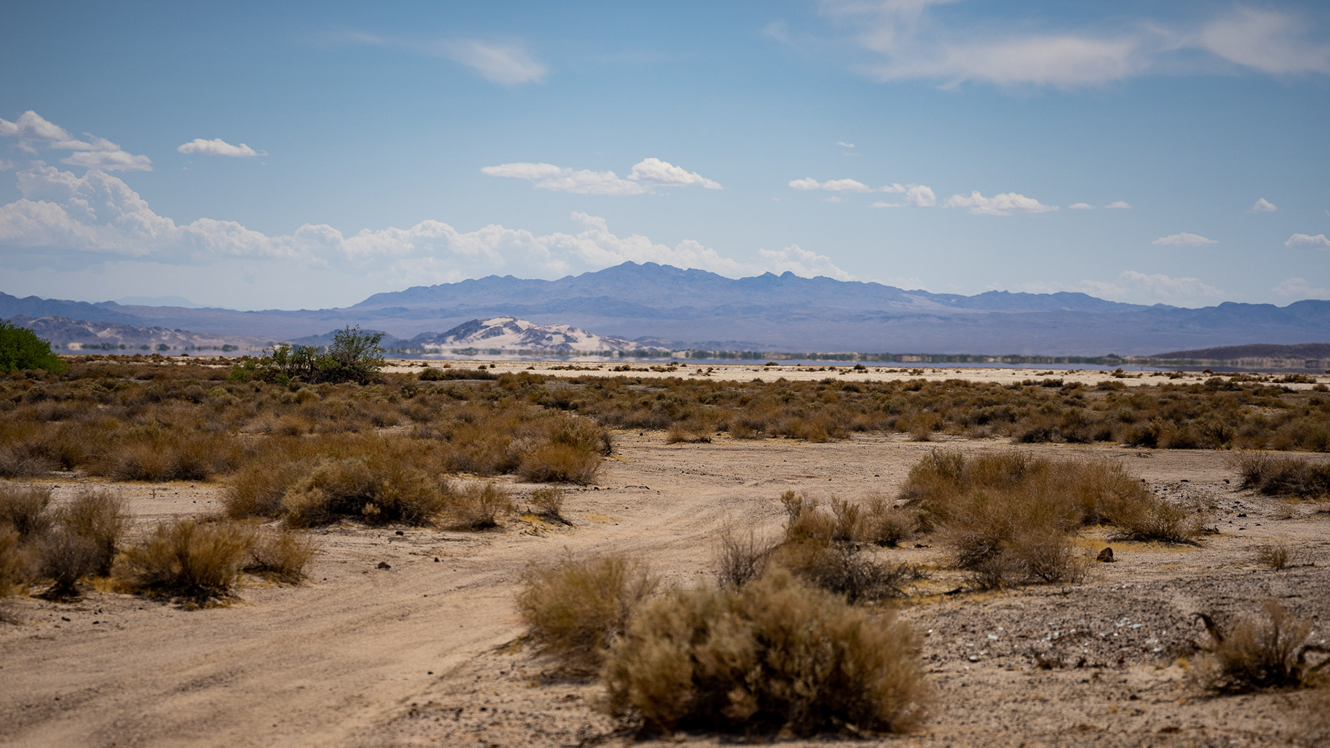
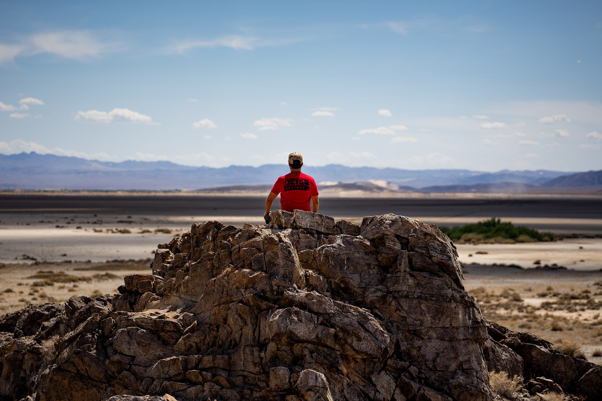
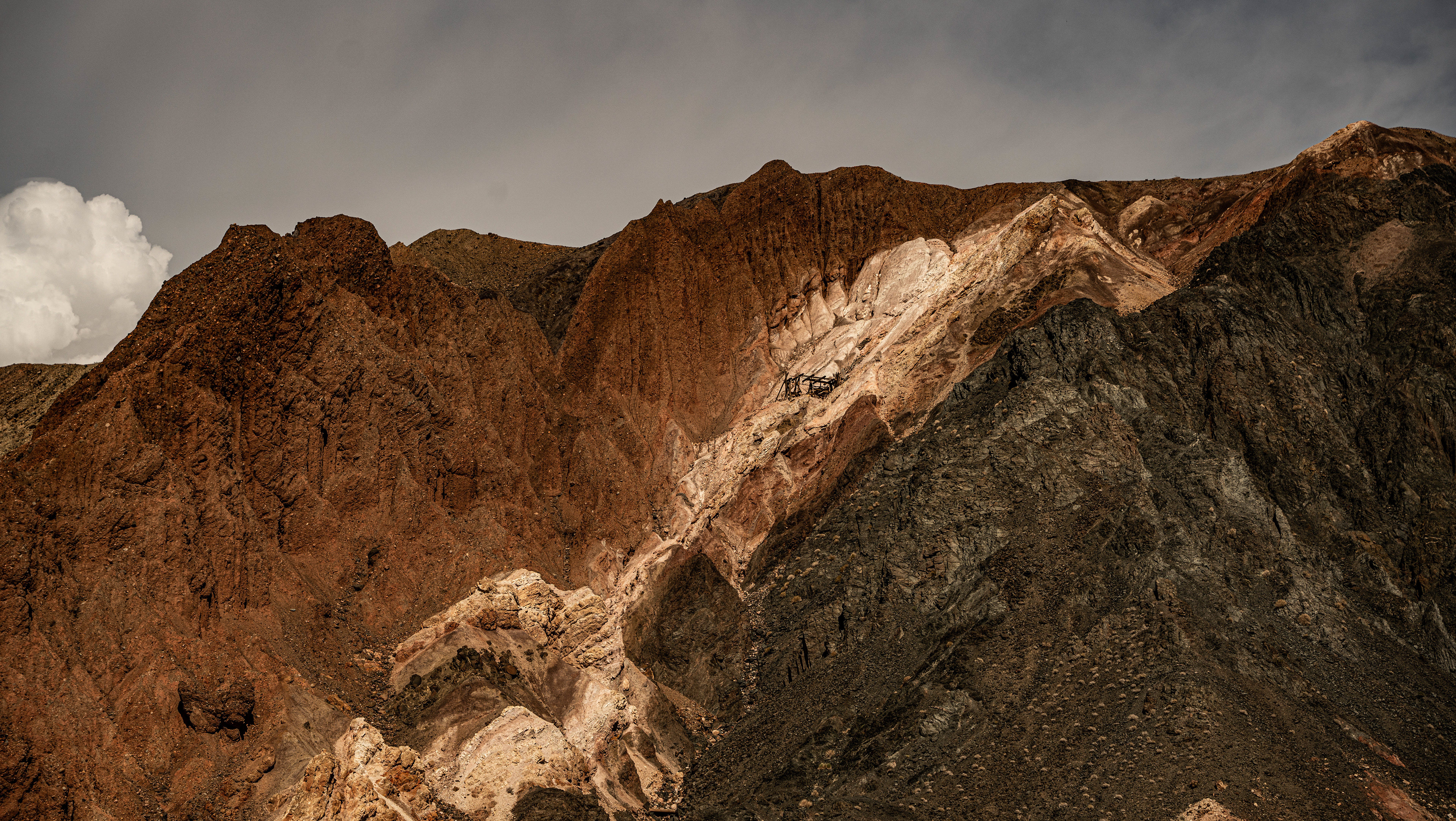
On top of an abandoned mine of some sort, was a great lookout point across soda lake. We both had full cell service here, where we made a couple of phone calls to connect to civilization for a short time before continuing along the road. ZZyZX research center is visible across the lake bed, marked with palm trees, and greenery, another oasis.
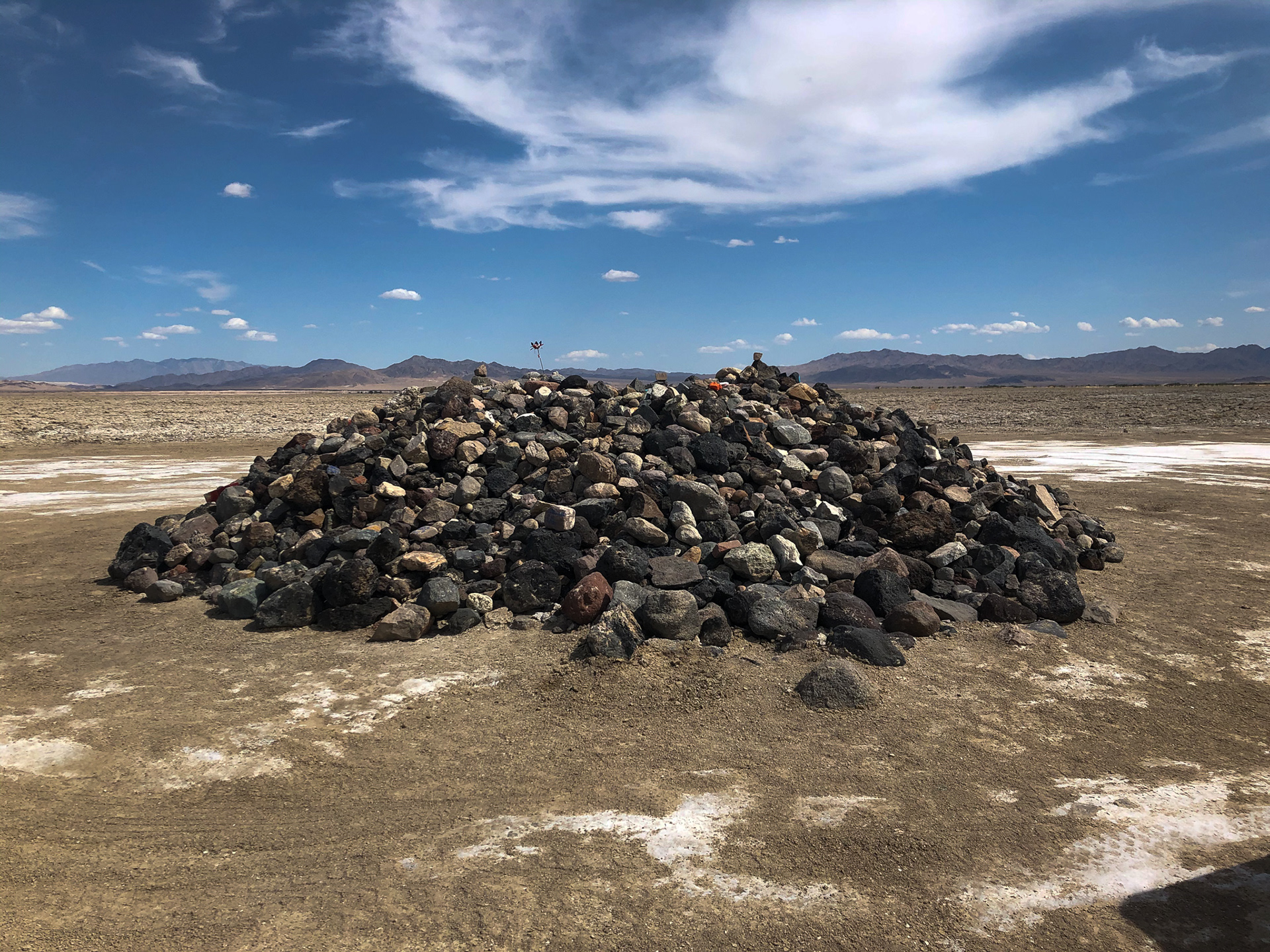
Near the end of soda lake, you'll run across another one of the roads weird sights to see, Travelers monument. A large pile of rocks from the many visitors, all brought from their homes to leave here as a token of driving the road. Some are signed with names, painted with silly pictures, and others just tossed in with the rest.
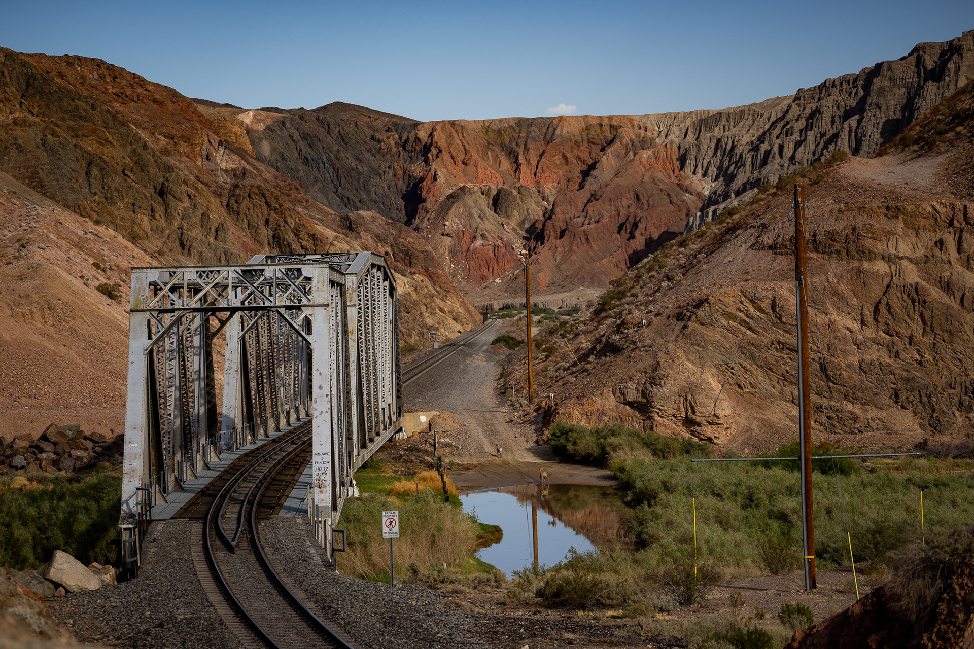
The first river crossing you come to is eerie. It twists under a train bridge, with no indication of where it ends, how deep it is, and what lies beneath. We shrugged it off and sent me through first, being the one with 4wd, if anything happened, I was more likely to get out of it. Shortly after we both successfully made it through, we spotted a family of bighorn sheep who had come down right behind us to get a drink of water at the crossing.
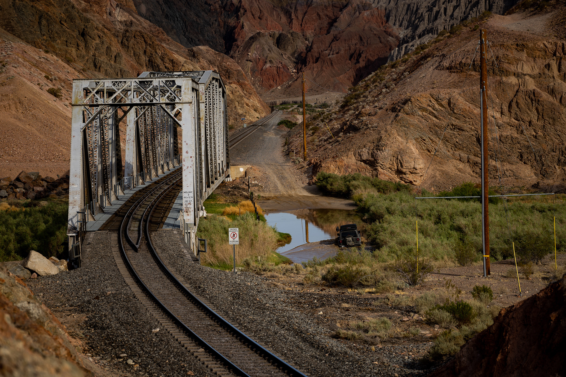
The sheep passed, and so did a couple in this solo jeep, just starting their journey going from west to east.
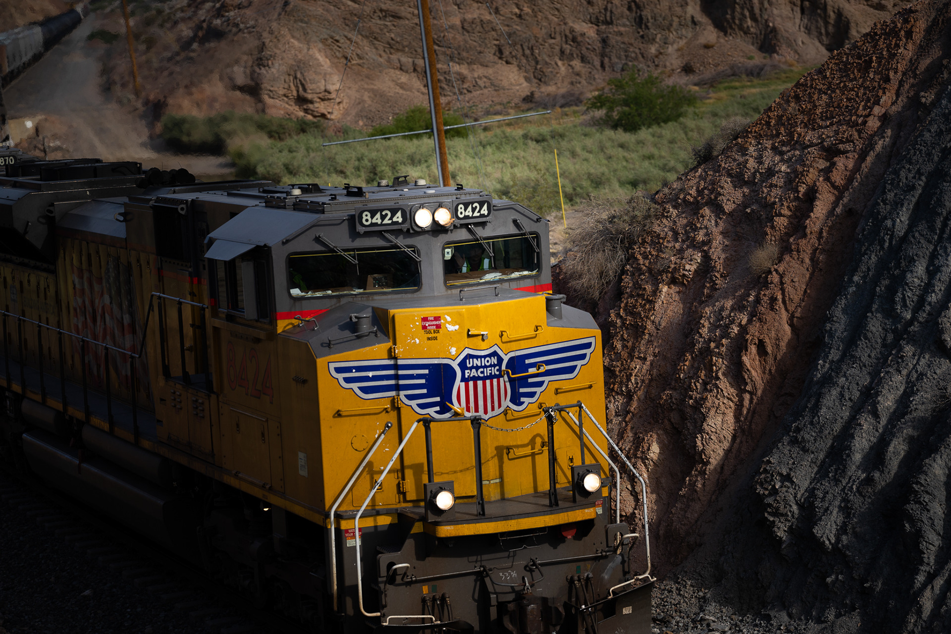
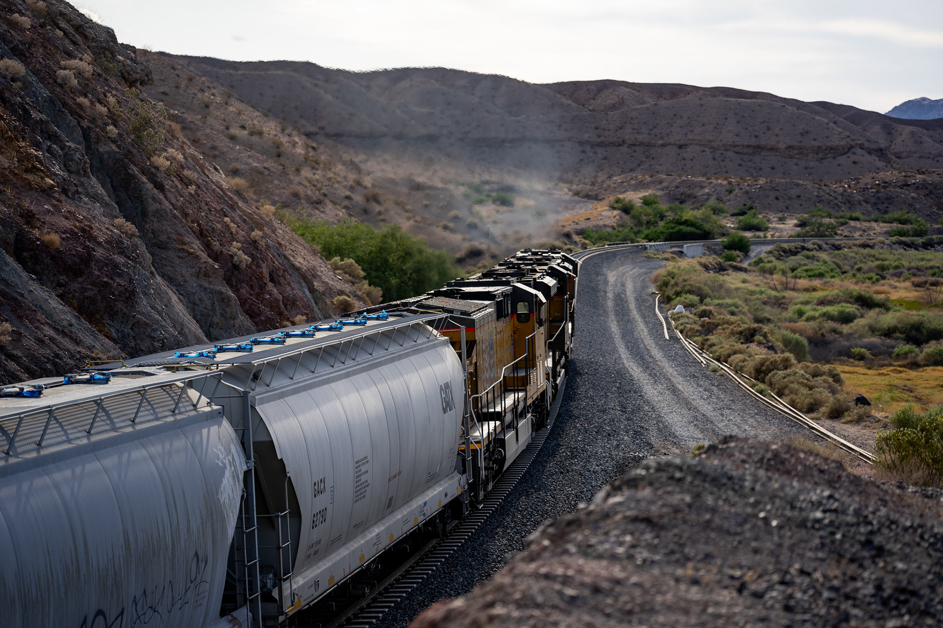
I didn't know it yet, but these train tracks would become the bane of my existence in a few hours.

Afton campground was home for the night, along with home to thousands of mosquitos, birds, and trains rumbling through the night.
Just an example of how dusty things were getting. You'd think having a topper on the truck would help keep the dust out. It didn't, but we had the great idea to use our compressors to do a little house keeping before the sun set, and the mosquitos started to attack.
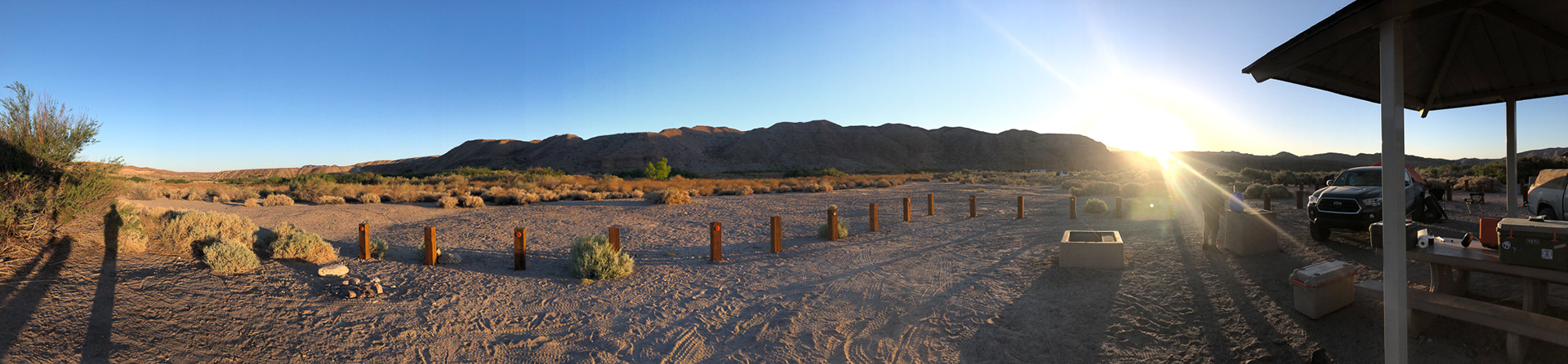
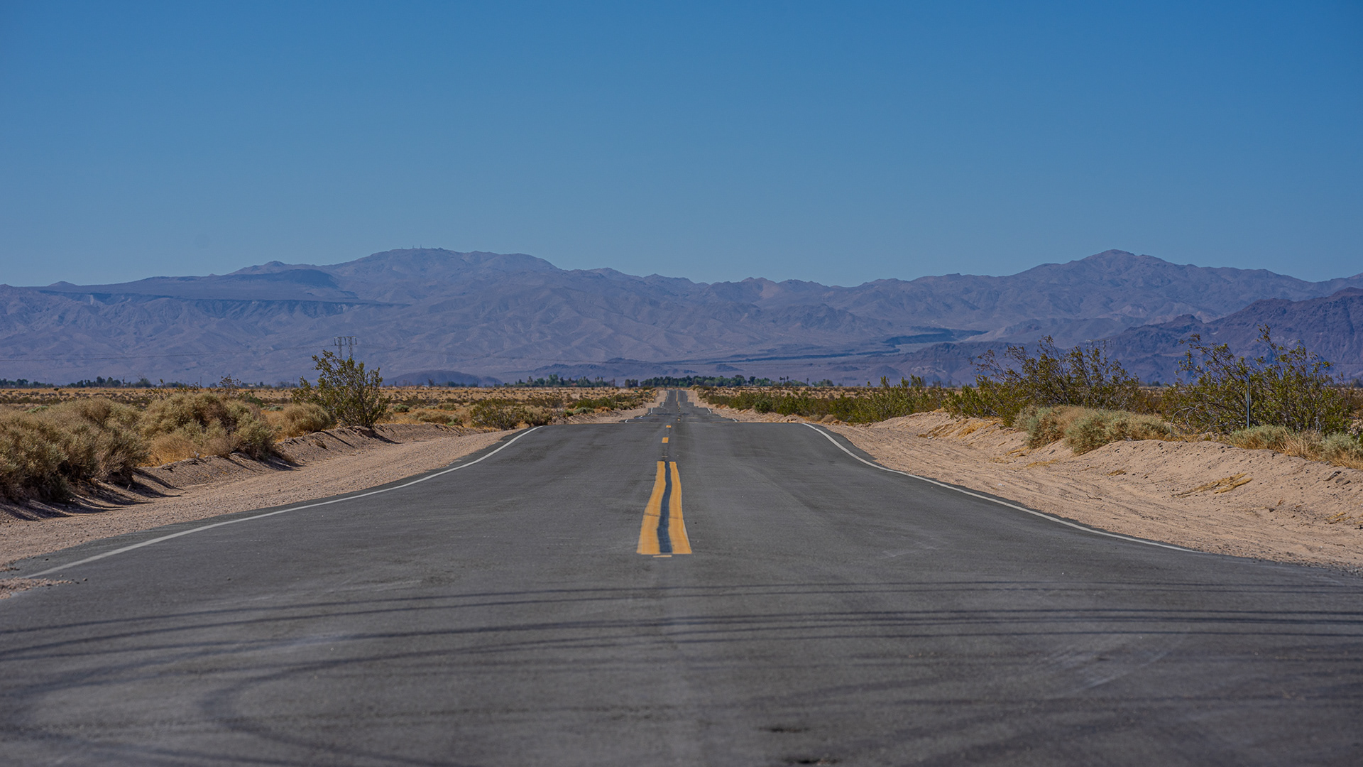
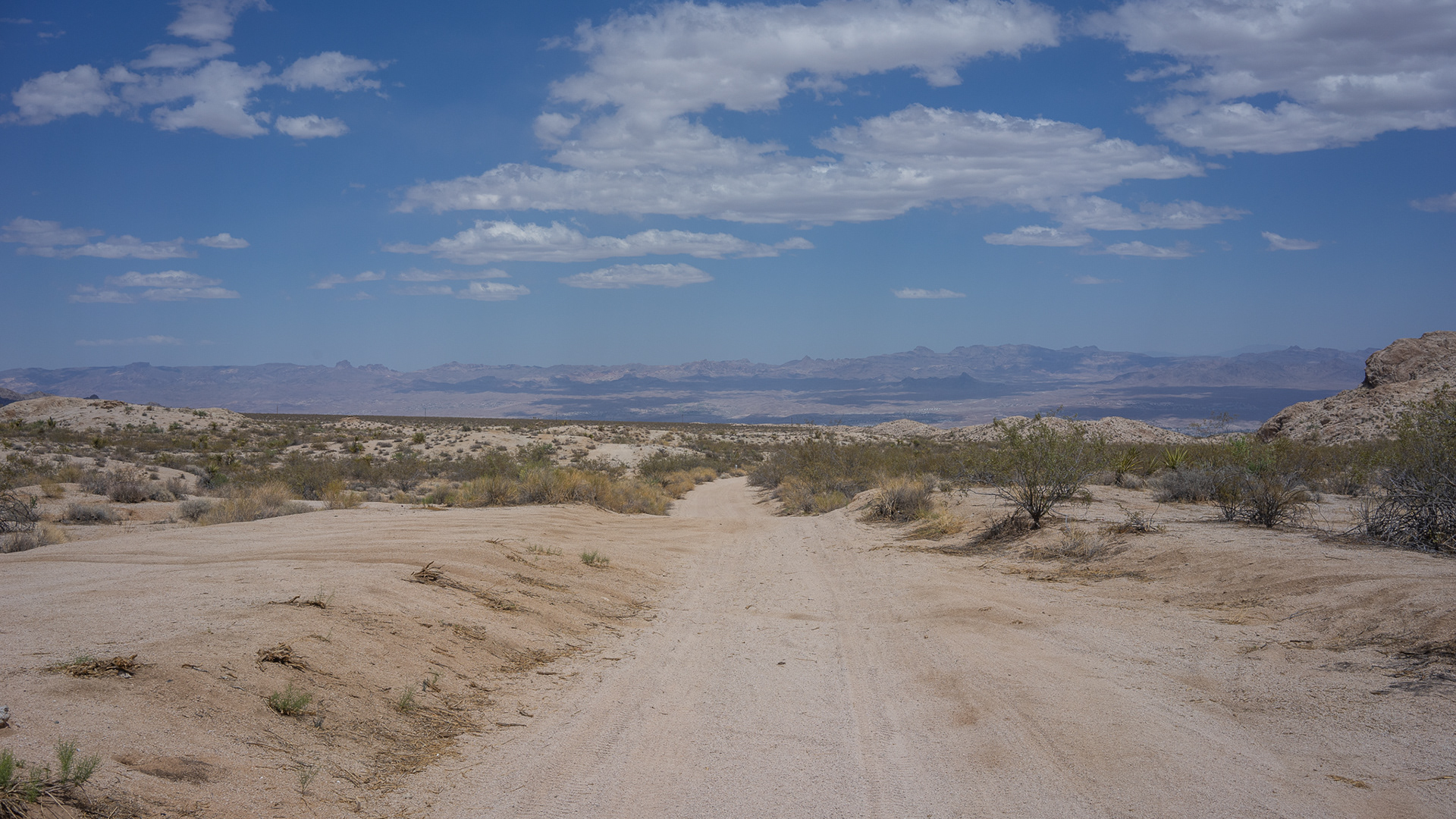
Up at sunrise, and from here, it was only a couple hours through a sand wash back to pavement. Unfortunately, I don't have many photos from here on out as high speeds were required to stay out of sinking sand.
Looks like I need to reset the date on my dash cam....